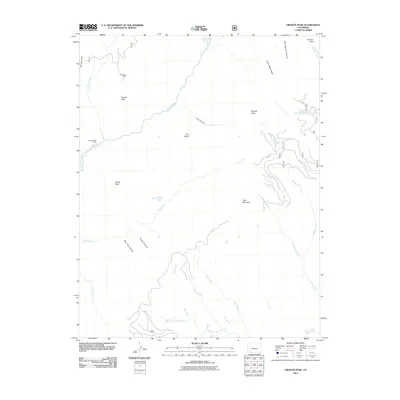
2011 Map of Granite Peak
USGS Topo · Published 2011About this map
Holbrook Mine sits on the western edge of this terrain, a solitary indicator of the mineral extraction history in this high-altitude landscape. The area is dominated by significant summits including Granite Peak, Graham Peak, and Runlett Peak, which define the drainage basins of several major water systems. The Los Pinos River winds through the western section near Granite Peak Ranch, while the First Fork Piedra River and its tributaries, such as Trout Creek and Clear Creek, carve through the southern reaches. Navigational features like The Notch and the deep cuts of Bear Trap Canyon and Poison Canyon illustrate the complex geography. Evidence of modern access is limited to Co RD 501 and FS RD 631, which thread between prominent landmarks like Slide Mountain and the Three Sisters Peaks.
Find a feature on this map
34 named features on this map. Tap any name to fly to it.
Don’t see what you’re looking for? This feature index may not catch every label — zoom into the map to look around manually.
Map Details
Editions of this 2011 Granite Peak Map
This is the sole edition of this map. No revisions or reprints were ever made.
Other maps of this area

1900 · Needle Mountains
USGS Topo · 1:62,500

1902 · Needle Mountains
USGS Topo · 1:62,500

1905 · San Cristobal
USGS Topo · 1:125,000

1907 · San Cristobal
USGS Topo · 1:125,000

1908 · Ignacio
USGS Topo · 1:125,000

1924 · Ignacio
USGS Topo · 1:125,000

1924 · Pagosa Springs
USGS Topo · 1:125,000

1927 · Pagosa Springs
USGS Topo · 1:125,000

1945 · Durango
USGS Topo · 1:250,000

1953 · Durango
USGS Topo · 1:250,000