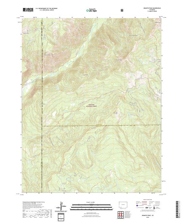
2022 Map of Granite Peak
USGS Topo · Published 2022About this map
San Juan National Forest defines this high-altitude landscape where the headwaters of several critical drainages originate. The geography is anchored by a series of prominent summits including Granite Peak, Three Sisters Peaks, and Runlett Peak, which separate the deep canyons of the Los Pinos River from the eastern basins. This 2022 survey illustrates the modern trail and water network through the area, tracing the Pine River Trl and the First Fork Trl as they navigate the steep elevation changes.
Find a feature on this map
46 named features on this map. Tap any name to fly to it.
Don’t see what you’re looking for? This feature index may not catch every label — zoom into the map to look around manually.
Map Details
Editions of this 2022 Granite Peak Map
This is the sole edition of this map. No revisions or reprints were ever made.
Other maps of this area

1900 · Needle Mountains
USGS Topo · 1:62,500

1902 · Needle Mountains
USGS Topo · 1:62,500

1905 · San Cristobal
USGS Topo · 1:125,000

1907 · San Cristobal
USGS Topo · 1:125,000

1908 · Ignacio
USGS Topo · 1:125,000

1924 · Ignacio
USGS Topo · 1:125,000

1924 · Pagosa Springs
USGS Topo · 1:125,000

1927 · Pagosa Springs
USGS Topo · 1:125,000

1945 · Durango
USGS Topo · 1:250,000

1953 · Durango
USGS Topo · 1:250,000