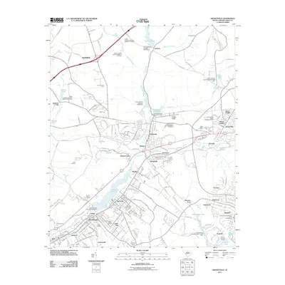
2011 Map of Graniteville
USGS Topo · Published 2011About this map
Horse Creek and its various tributaries drive the landscape of this region west of Aiken, where a series of dams and ponds historically supported local industry. The settlement pattern follows the waterway and the Trolley Line Rd corridor, connecting established communities like Graniteville, Vaucluse, and Warrenville. This 2011 survey captures the dense network of residential subdivisions such as Aiken Heights and Westcliff that have expanded around the historic mill village cores.
Find a feature on this map
151 named features on this map. Tap any name to fly to it.
Don’t see what you’re looking for? This feature index may not catch every label — zoom into the map to look around manually.
Map Details
Editions of this 2011 Graniteville Map
This is the sole edition of this map. No revisions or reprints were ever made.
Other maps of this area

1920 · Aiken
USGS Topo · 1:48,000

1920 · Talatha
USGS Topo · 1:48,000

1921 · Augusta
USGS Topo · 1:62,500

1921 · Aiken
USGS Topo · 1:62,500

1921 · Talatha
USGS Topo · 1:62,500

1923 · Warrenville
USGS Topo · 1:48,000

1928 · Warrenville
USGS Topo · 1:62,500

1943 · Aiken
USGS Topo · 1:62,500

1943 · Augusta East
USGS Topo · 1:125,000

1943 · Warrenville
USGS Topo · 1:62,500