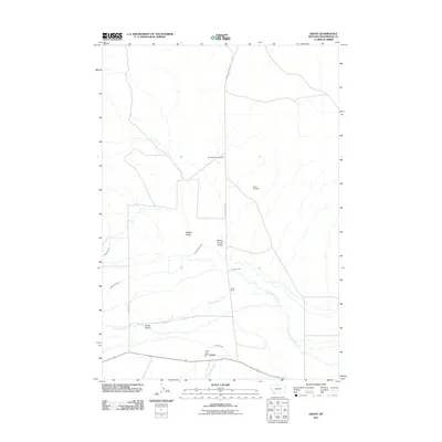
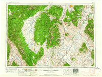
2011 Map of Grant
USGS Topo · Published 2011About this map
Grant and the surrounding high-country ranchlands of Beaverhead County are documented here as they existed in the early 21st century. The settlement of Horse Prairie and the Grant Fire Dept serve as the primary landmarks in a landscape dominated by livestock operations and water management. An intricate system of irrigation features, including the Palment Ditch, Jagger Ditch, and Cross Ranch Ditch, illustrates the necessity of diverting water from Horse Prairie Creek to sustain the local agricultural economy.
Find a feature on this map
17 named features on this map. Tap any name to fly to it.
Don’t see what you’re looking for? This feature index may not catch every label — zoom into the map to look around manually.
Map Details
Editions of this 2011 Grant Map
This is the sole edition of this map. No revisions or reprints were ever made.
Other maps of this area
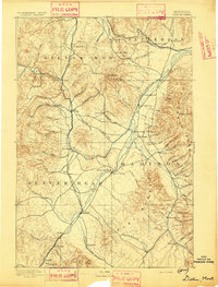
1893 · Dillon
USGS Topo · 1:250,000
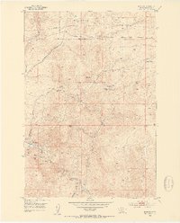
1952 · Bannack
USGS Topo · 1:24,000
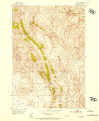
1952 · Eli Spring
USGS Topo · 1:24,000
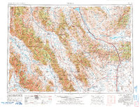
1955 · Dubois
USGS Topo · 1:250,000

1955 · Dillon
USGS Topo · 1:250,000

1957 · Dillon
USGS Topo · 1:250,000
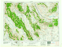
1958 · Dubois
USGS Topo · 1:250,000
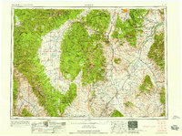
1958 · Dillon
USGS Topo · 1:250,000
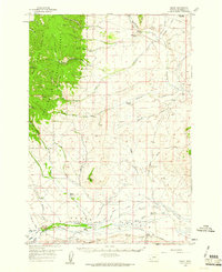
1959 · Grant
USGS Topo · 1:62,500
1962 · Dillon
USGS Topo · 1:250,000