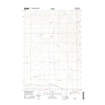
2017 Map of Grant
USGS Topo · Published 2017About this map
The settlement of Grant sits at the southern edge of this western Montana landscape, positioned where Barrett Cr meets the larger Horse Prairie Cr. This high-country basin is defined by an intricate network of irrigation systems, reflecting a long history of ranching and water management. Named features like the Hans Peterson Ditch, Prohosky Ditch, and Jagger Ditch cut across the valley floor, diverting water to support the Horse Prairie area.
Find a feature on this map
26 named features on this map. Tap any name to fly to it.
Don’t see what you’re looking for? This feature index may not catch every label — zoom into the map to look around manually.
Map Details
Editions of this 2017 Grant Map
This is the sole edition of this map. No revisions or reprints were ever made.
Other maps of this area
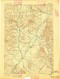
1893 · Dillon
USGS Topo · 1:250,000
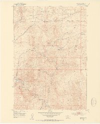
1952 · Bannack
USGS Topo · 1:24,000
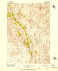
1952 · Eli Spring
USGS Topo · 1:24,000
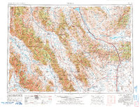
1955 · Dubois
USGS Topo · 1:250,000
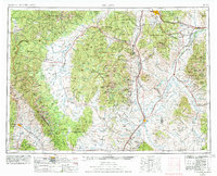
1955 · Dillon
USGS Topo · 1:250,000
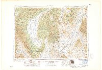
1957 · Dillon
USGS Topo · 1:250,000
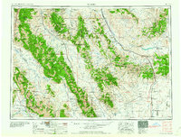
1958 · Dubois
USGS Topo · 1:250,000
1958 · Dillon
USGS Topo · 1:250,000
1959 · Grant
USGS Topo · 1:62,500
1962 · Dillon
USGS Topo · 1:250,000