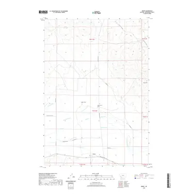
2020 Map of Grant
USGS Topo · Published 2020About this map
Grant sits at the heart of this southwestern Montana landscape, serving as a focal point for the ranching and irrigation networks of Beaverhead County. The map details a sophisticated water management system vital to the high-plains economy, including the Paiment Ditch, Jagger Ditch, and Cross Ranch Ditch. These man-made channels divert water from natural flows like Horse Prairie Cr and Dunlap Cr to support the surrounding valley floor. To the northeast, the terrain rises into the Rocky Hills, where Sheep Corral Gulch and Badger Gulch carve through the foothills. Historical movement through the region is traced by routes such as Bannack Bench Rd and the Corinne Trl, connecting the small settlement of Grant to the broader Montana territory. This survey provides a clear look at how land use and water rights have shaped the spatial organization of this specific corner of Horse Prairie.
Find a feature on this map
26 named features on this map. Tap any name to fly to it.
Don’t see what you’re looking for? This feature index may not catch every label — zoom into the map to look around manually.
Map Details
Editions of this 2020 Grant Map
This is the sole edition of this map. No revisions or reprints were ever made.
Other maps of this area

1893 · Dillon
USGS Topo · 1:250,000

1952 · Bannack
USGS Topo · 1:24,000

1952 · Eli Spring
USGS Topo · 1:24,000

1955 · Dubois
USGS Topo · 1:250,000

1955 · Dillon
USGS Topo · 1:250,000

1957 · Dillon
USGS Topo · 1:250,000

1958 · Dubois
USGS Topo · 1:250,000

1958 · Dillon
USGS Topo · 1:250,000

1959 · Grant
USGS Topo · 1:62,500

1962 · Dillon
USGS Topo · 1:250,000