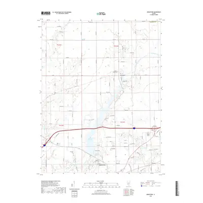
2018 Map of Grantfork
USGS Topo · Published 2018About this map
The village of Grantfork serves as a northern anchor in this part of Madison County, where agricultural lands meet the expanding outskirts of Highland. The terrain is defined by the drainage systems of Sugar Fork, Sand Creek, and East Fork Silver Creek, which feed into the significant reservoir of Highland Silver Lake. This body of water, along with the Old City Reservoir, illustrates the managed water resources essential to the region's development.
Find a feature on this map
98 named features on this map. Tap any name to fly to it.
Don’t see what you’re looking for? This feature index may not catch every label — zoom into the map to look around manually.
Map Details
Editions of this 2018 Grantfork Map
This is the sole edition of this map. No revisions or reprints were ever made.
Other maps of this area
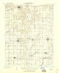
1906 · Breese
USGS Topo · 1:62,500
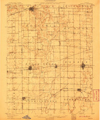
1907 · Breese
USGS Topo · 1:62,500
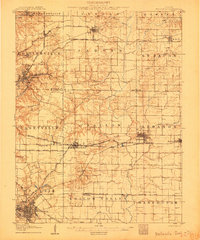
1907 · Belleville
USGS Topo · 1:62,500
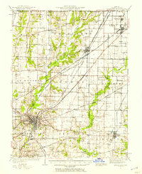
1927 · Edwardsville
USGS Topo · 1:62,500
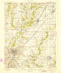
1932 · Edwardsville
USGS Topo · 1:62,500
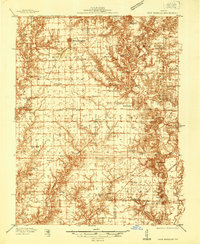
1937 · New Douglas
USGS Topo · 1:48,000
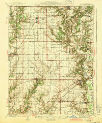
1944 · New Douglas
USGS Topo · 1:62,500
1949 · St. Jacob
USGS Topo · 1:24,000
1954 · Marine
USGS Topo · 1:24,000
1954 · Worden
USGS Topo · 1:24,000