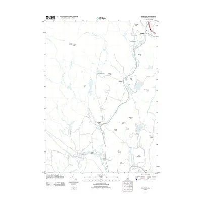
2012 Map of Grantham
USGS Topo · Published 2012About this map
Croydon Mountain and Croydon Peak dominate the western landscape of this Sullivan County region, where the N Br Sugar River and Sugar River dictate the settlement patterns. The village of Grantham sits in the northeast corner, while smaller hamlets like Croydon Flat and North Newport are distributed along the winding valley roads. A high density of cemeteries, including Dunbar Hill Cem and the North Newport Cem, provides essential location data for genealogists tracing local families. The presence of Parlin Field Airport near the southern boundary highlights the modern infrastructure integrated into this rural New Hampshire terrain. Water features are particularly prominent, from the small Lily Pond to the larger Rockybound Pond and the marshy area known as The Overflow. Roads such as the Croydon Tpke connect these scattered communities across a landscape of peaks like Coit Mountain and Bald Mountain.
Find a feature on this map
113 named features on this map. Tap any name to fly to it.
Don’t see what you’re looking for? This feature index may not catch every label — zoom into the map to look around manually.
Map Details
Editions of this 2012 Grantham Map
This is the sole edition of this map. No revisions or reprints were ever made.
Other maps of this area

1902 · Sunapee
USGS Topo · 1:62,500

1905 · Sunapee
USGS Topo · 1:62,500

1906 · Hanover
USGS Topo · 1:62,500

1907 · Sunapee
USGS Topo · 1:62,500

1908 · Hanover
USGS Topo · 1:62,500

1926 · Claremont
USGS Topo · 1:62,500

1927 · Mascoma
USGS Topo · 1:62,500

1929 · Claremont
USGS Topo · 1:62,500

1932 · Mascoma
USGS Topo · 1:62,500

1950 · Glens Falls
USGS Topo · 1:250,000