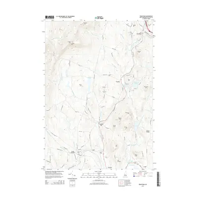
2015 Map of Grantham
USGS Topo · Published 2015About this map
Croydon Mountain and the surrounding Sullivan County highlands dominate this 2015 study of the landscape north of Newport. The Sugar River and its North Branch carve through the valley, anchoring settlements like Guild, Croydon Flat, and North Newport. Local history is preserved in the numerous family and community burial grounds, including Village Cemetery and the remote Dunbar Hill Cemetery.
Find a feature on this map
59 named features on this map. Tap any name to fly to it.
Don’t see what you’re looking for? This feature index may not catch every label — zoom into the map to look around manually.
Map Details
Editions of this 2015 Grantham Map
This is the sole edition of this map. No revisions or reprints were ever made.
Other maps of this area

1902 · Sunapee
USGS Topo · 1:62,500

1905 · Sunapee
USGS Topo · 1:62,500

1906 · Hanover
USGS Topo · 1:62,500

1907 · Sunapee
USGS Topo · 1:62,500

1908 · Hanover
USGS Topo · 1:62,500

1926 · Claremont
USGS Topo · 1:62,500

1927 · Mascoma
USGS Topo · 1:62,500

1929 · Claremont
USGS Topo · 1:62,500

1932 · Mascoma
USGS Topo · 1:62,500

1950 · Glens Falls
USGS Topo · 1:250,000