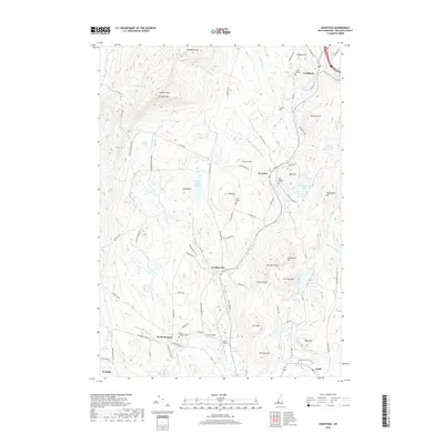
2018 Map of Grantham
USGS Topo · Published 2018About this map
The North Branch Sugar River and its numerous tributaries, including Ash Swamp Brook and Sawyer Brook, dominate this Sullivan County landscape. The terrain is defined by prominent elevations such as Croydon Mtn and Grantham Mtn, which frame the small settlements and rural roads of the region. Local history is anchored by several burial grounds, including the Dunbar Hill Cem in the north and the North Newport Cem near the southern boundary. The presence of Parlin Field and the crossing at Corbin Bridge indicate the area's continued role as a local transportation hub. Significant water bodies like Rockybound Pond and Red Leaf Pond are interspersed among the ridges, while the winding Croydon Tpke serves as a primary north-south artery connecting Grantham with the smaller hamlets of Croydon and Croydon Flat.
Find a feature on this map
94 named features on this map. Tap any name to fly to it.
Don’t see what you’re looking for? This feature index may not catch every label — zoom into the map to look around manually.
Map Details
Editions of this 2018 Grantham Map
This is the sole edition of this map. No revisions or reprints were ever made.
Other maps of this area

1902 · Sunapee
USGS Topo · 1:62,500

1905 · Sunapee
USGS Topo · 1:62,500

1906 · Hanover
USGS Topo · 1:62,500

1907 · Sunapee
USGS Topo · 1:62,500

1908 · Hanover
USGS Topo · 1:62,500

1926 · Claremont
USGS Topo · 1:62,500

1927 · Mascoma
USGS Topo · 1:62,500

1929 · Claremont
USGS Topo · 1:62,500

1932 · Mascoma
USGS Topo · 1:62,500

1950 · Glens Falls
USGS Topo · 1:250,000