
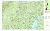
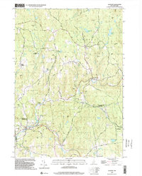
2024 Map of Grantham
USGS Topo · Published 2024About this map
Croydon Mountain and the prominent Croydon Peak dominate the northwestern landscape of this Sullivan County region, where the terrain slopes down toward the winding Sugar River. The settlement patterns follow the valley floors, with Croydon, Croydon Flat, and North Newport serving as historical anchors along the local road network. Genealogists will find a significant concentration of burial sites throughout the township, including East Village Cem, Putnam Cem, and the Grantham Memorial Cem near the northern border.
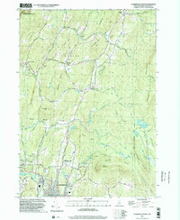
Find a feature on this map
106 named features on this map. Tap any name to fly to it.
Don’t see what you’re looking for? This feature index may not catch every label — zoom into the map to look around manually.
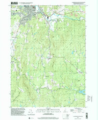
Map Details
Editions of this 2024 Grantham Map
This is the sole edition of this map. No revisions or reprints were ever made.
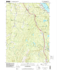
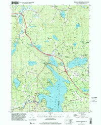
Historical Maps of North Newport Through Time
25 maps found

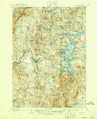
1902 Sunapee
Sullivan County, NH

1905 Sunapee
Sullivan County, NH
1907 Sunapee
Sullivan County, NH
1955 Sunapee
Sullivan County, NH

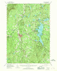
1984 Lovewell Mountain
Sullivan County, NH
1984 Newport
Sullivan County, NH
1984 Sunapee
Sullivan County, NH
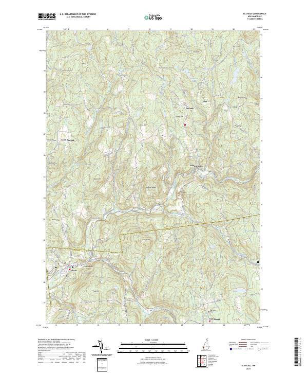
1998 Alstead
Sullivan County, NH
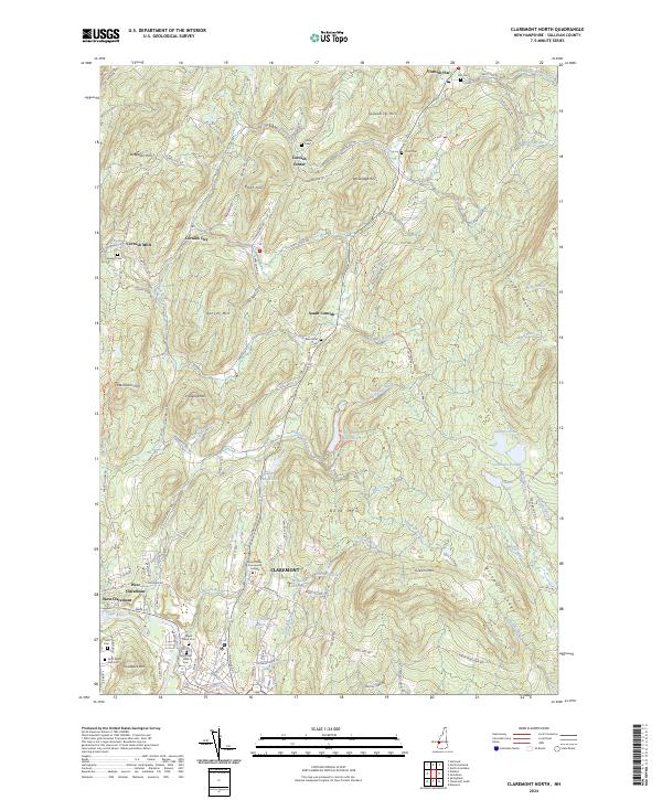
1998 Claremont North
Sullivan County, NH
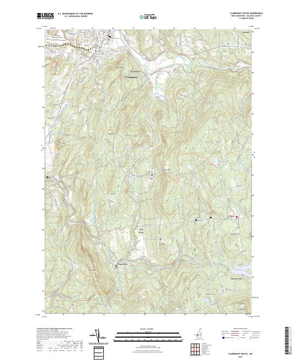
1998 Claremont South
Sullivan County, NH

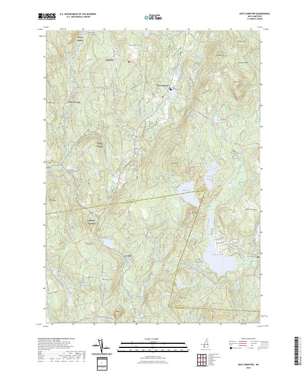
1998 East Lempster
Sullivan County, NH

1998 Grantham
Sullivan County, NH
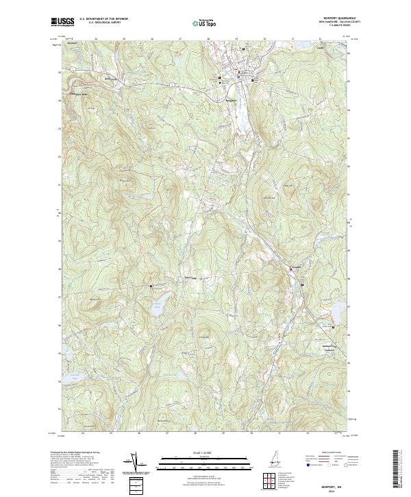
1998 Newport
Sullivan County, NH
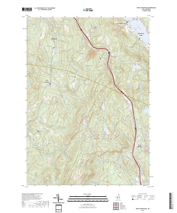
1998 North Grantham
Sullivan County, NH
1998 Sunapee Lake North
Sullivan County, NH

1998 Washington
Sullivan County, NH
2024 Alstead
Sullivan County, NH
2024 Claremont North
Sullivan County, NH
2024 Claremont South
Sullivan County, NH
2024 East Lempster
Sullivan County, NH
2024 Grantham
Sullivan County, NH
2024 Newport
Sullivan County, NH
2024 North Grantham
Sullivan County, NH

2024 Sunapee Lake North
Sullivan County, NH
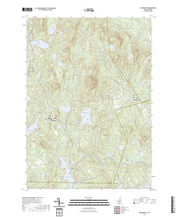
2024 Washington
Sullivan County, NH