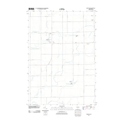
2010 Map of Granton
USGS Topo · Published 2010About this map
The village of Granton and the settlement of Lynn anchor this survey of rural Clark County, defined by a network of agricultural land and wandering waterways. Five distinct burial grounds, including the curiously named Yolo Cemetery and Windfall Cemetery, provide significant data points for genealogists tracing local families. The landscape is drained by a complex system of creeks, most notably the Middle Branch O'Neill Creek and South Branch O'Neill Creek in the north, and Cunningham Creek which flows past the Cunningham Airport. The southern reaches are marked by more recent developments such as the Loretta Smith Dam and its associated 0.8 Reservoir. This map reflects the enduring rural character of central Wisconsin, where the road grid of County Hwy-K and County Hwy-W integrates with natural features like Jack Creek and Hay Meadow Creek.
Find a feature on this map
40 named features on this map. Tap any name to fly to it.
Don’t see what you’re looking for? This feature index may not catch every label — zoom into the map to look around manually.
Map Details
Editions of this 2010 Granton Map
This is the sole edition of this map. No revisions or reprints were ever made.
Other maps of this area

1953 · Neillsville
USGS Topo · 1:62,500

1953 · Eau Claire
USGS Topo · 1:250,000

1954 · Granton
USGS Topo · 1:62,500

1957 · City Point
USGS Topo · 1:48,000

1958 · Eau Claire
USGS Topo · 1:250,000

1958 · Hatfield
USGS Topo · 1:48,000

1964 · Eau Claire
USGS Topo · 1:250,000

1970 · City Point NE
USGS Topo · 1:24,000
1970 · City Point NW
USGS Topo · 1:24,000
1970 · Hatfield NE
USGS Topo · 1:24,000