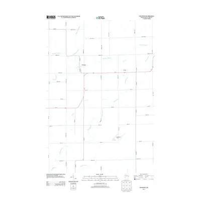
2013 Map of Granton
USGS Topo · Published 2013About this map
Granton and Lynn serve as the primary nodes of settlement in this part of Clark County, situated at a time when traditional agricultural land use meets modern infrastructure. The landscape is defined by a dense network of watercourses, most notably the winding paths of Middle Br O'Neill Cr and South Br O'Neill Cr which drain the northern half of the quadrangle. These streams, along with Cunningham Cr and its associated Reservoir, illustrate the hydrological pattern of central Wisconsin.
Find a feature on this map
36 named features on this map. Tap any name to fly to it.
Don’t see what you’re looking for? This feature index may not catch every label — zoom into the map to look around manually.
Map Details
Editions of this 2013 Granton Map
This is the sole edition of this map. No revisions or reprints were ever made.
Other maps of this area

1953 · Neillsville
USGS Topo · 1:62,500

1953 · Eau Claire
USGS Topo · 1:250,000

1954 · Granton
USGS Topo · 1:62,500

1957 · City Point
USGS Topo · 1:48,000

1958 · Eau Claire
USGS Topo · 1:250,000

1958 · Hatfield
USGS Topo · 1:48,000

1964 · Eau Claire
USGS Topo · 1:250,000

1970 · City Point NE
USGS Topo · 1:24,000
1970 · City Point NW
USGS Topo · 1:24,000
1970 · Hatfield NE
USGS Topo · 1:24,000