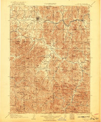
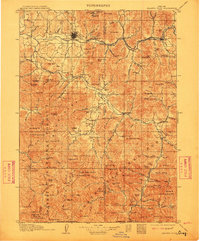
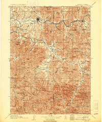
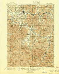
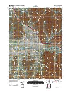
1908 Map of Grants Pass
USGS Topo · Published 1921About this map
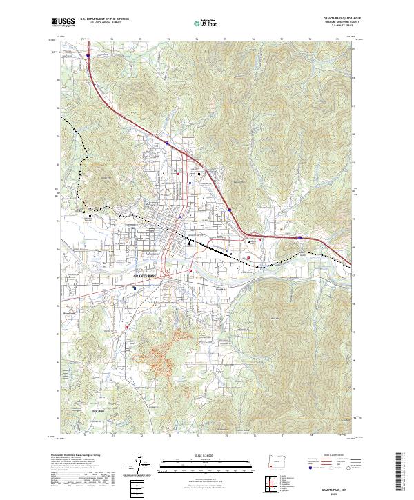
Grants Pass sits at a critical junction of the Rogue River and the Southern Pacific railroad, serving as the gateway to the mineral-rich mountains of the Siskiyou National Forest. During the first decade of the 1900s, this region was a hive of industrial activity, defined by dozens of active claims such as the Granite Hill Mine, Bill Nye Mine, and the Oregon Belle Mine. The landscape is etched with the transition from river-bottom agriculture at Jerome Prairie to the deep timber and high peaks of the Siskiyou Mountains.
Find a feature on this map
134 named features on this map. Tap any name to fly to it.
Don’t see what you’re looking for? This feature index may not catch every label — zoom into the map to look around manually.
Map Details
Editions of this 1908 Grants Pass Map
5 editions found

Historical Maps of Grants Pass Through Time
10 maps found
1908 Grants Pass
Josephine County, OR
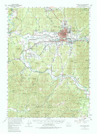
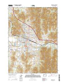
1954 Grants Pass
Josephine County, OR
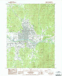
1986 Grants Pass
Josephine County, OR
1989 Grants Pass
Josephine County, OR
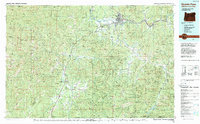
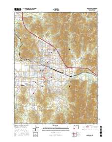
1996 Grants Pass
Josephine County, OR
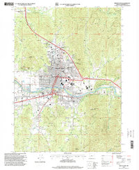
2011 Grants Pass
Josephine County, OR
2014 Grants Pass
Josephine County, OR
2017 Grants Pass
Josephine County, OR
2020 Grants Pass
Josephine County, OR
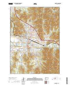
2023 Grants Pass
Josephine County, OR