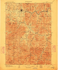
1908 Map of Grants Pass
USGS Topo · Published 1912About this map
The Rogue River and its major tributaries, including the Applegate River and Illinois River, define the landscape of this Southern Oregon region. During this period, the Southern Pacific Railroad connects the primary settlement at Grants Pass with smaller rail towns like Woodville and Gold Hill. The map documents a significant mining era, evidenced by a dense network of claims such as the Granite Hill Mine and Bill Nye Mine north of the river, and the Oregon Belle Mine to the south.
Find a feature on this map
162 named features on this map. Tap any name to fly to it.
Don’t see what you’re looking for? This feature index may not catch every label — zoom into the map to look around manually.
Map Details
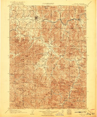
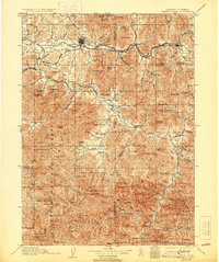
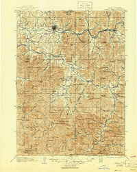
Editions of this 1908 Grants Pass Map
5 editions found
Other maps of this area

1886 · Shasta
USGS Topo · 1:250,000

1891 · Ashland
USGS Topo · 1:250,000

1893 · Ashland
USGS Topo · 1:250,000

1894 · Shasta
USGS Topo · 1:250,000

1897 · Ashland
USGS Topo · 1:250,000

1904 · Riddle
USGS Topo · 1:125,000

1908 · Grants Pass
USGS Topo · 1:125,000

1914 · Seiad
USGS Topo · 1:125,000

1917 · Kerby
USGS Topo · 1:125,000

1918 · Kerby
USGS Topo · 1:125,000