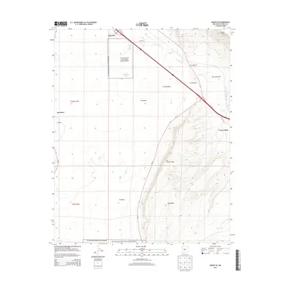
2013 Map of Grants SE
USGS Topo · Published 2013About this map
El Malpais National Monument dominates the western landscape of this Cibola County region, where the dark lava flows of The Malpais meet the sandstone bluffs of the high desert. To the north, the growing hub of Grants serves as the primary gateway to the volcanic fields, while smaller historic settlements like San Rafael, La Vega, and Anzac Village are scattered along the old transport corridors.
Find a feature on this map
24 named features on this map. Tap any name to fly to it.
Don’t see what you’re looking for? This feature index may not catch every label — zoom into the map to look around manually.
Map Details
Editions of this 2013 Grants SE Map
This is the sole edition of this map. No revisions or reprints were ever made.
Other maps of this area
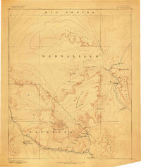
1883 · Mt. Taylor
USGS Topo · 1:250,000
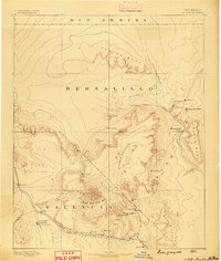
1886 · Mt. Taylor
USGS Topo · 1:250,000
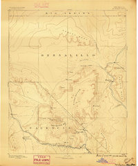
1892 · Mt. Taylor
USGS Topo · 1:250,000
1899 · Mt. Taylor
USGS Topo · 1:250,000
1917 · Broom Mountain
USGS Topo · 1:125,000
1954 · Socorro
USGS Topo · 1:250,000
1957 · San Rafael
USGS Topo · 1:24,000
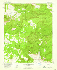
1957 · Lobo Springs
USGS Topo · 1:24,000
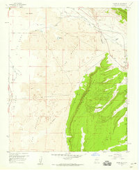
1957 · Grants SE
USGS Topo · 1:24,000
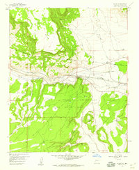
1957 · Mc Cartys
USGS Topo · 1:24,000