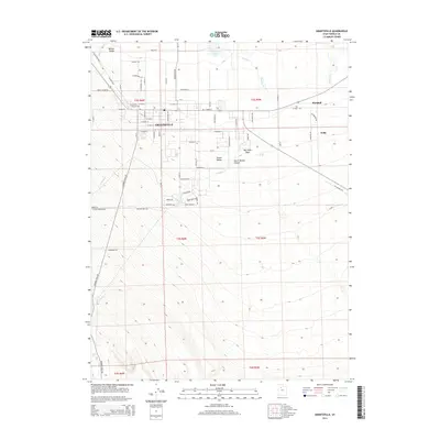
2014 Map of Grantsville
USGS Topo · Published 2014About this map
Grantsville and the eastern edge of the Tooele Valley are shown here as they appeared in 2014, showcasing a landscape where historical transcontinental routes meet modern residential growth. The legacy of western migration is evident in the path of the Mormon Trail Rd along the western foothills and the parallel alignments of the Old Lincoln Hwy and the newer Lincoln Hwy.
Find a feature on this map
80 named features on this map. Tap any name to fly to it.
Don’t see what you’re looking for? This feature index may not catch every label — zoom into the map to look around manually.
Map Details
Editions of this 2014 Grantsville Map
This is the sole edition of this map. No revisions or reprints were ever made.
Other maps of this area

1885 · Tooele Valley
USGS Topo · 1:250,000

1918 · Stockton
USGS Topo · 1:62,500

1953 · Tooele
USGS Topo · 1:250,000

1955 · Timpie
USGS Topo · 1:62,500

1955 · Mills Junction
USGS Topo · 1:24,000

1955 · Deseret Peak
USGS Topo · 1:62,500

1955 · Burmester
USGS Topo · 1:24,000

1955 · Grantsville
USGS Topo · 1:24,000

1955 · Stockton
USGS Topo · 1:62,500

1955 · Tooele
USGS Topo · 1:250,000