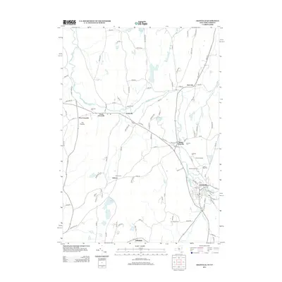
2013 Map of Granville
USGS Topo · Published 2013About this map
The Mettawee River valley anchors this study of Washington County, showing the cluster of distinct hamlets that define the Granville area. The landscape is marked by a transition from the agricultural flats of Slyboro and Hillsdale to the rising terrain of The Pinnacle. Local family and community history is preserved through a series of burial grounds, including the North Granville Cem and Quaker Cem, alongside landmarks such as Hicks Orchard and the Granville Airport.
Find a feature on this map
109 named features on this map. Tap any name to fly to it.
Don’t see what you’re looking for? This feature index may not catch every label — zoom into the map to look around manually.
Map Details
Editions of this 2013 Granville Map
This is the sole edition of this map. No revisions or reprints were ever made.
Other maps of this area

1893 · Fort Ann
USGS Topo · 1:62,500

1893 · Whitehall
USGS Topo · 1:62,500

1894 · Pawlet
USGS Topo · 1:62,500

1895 · Whitehall
USGS Topo · 1:62,500

1895 · Fort Ann
USGS Topo · 1:62,500

1895 · Castleton
USGS Topo · 1:62,500

1897 · Pawlet
USGS Topo · 1:62,500

1897 · Castleton
USGS Topo · 1:62,500

1898 · Whitehall
USGS Topo · 1:62,500

1898 · Fort Ann
USGS Topo · 1:62,500