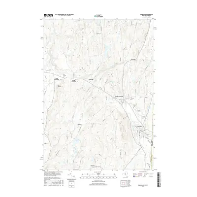
2016 Map of Granville
USGS Topo · Published 2016About this map
Granville and its neighboring hamlets sit along the New York Vermont border, where the Mettawee River and Indian River carve through the valley. This 2016 survey highlights a series of small, historic communities including Truthville, North Granville, and Raceville that are interconnected by a dense network of local roads such as Hatch Hill Rd and Truthville Rd. For genealogists and local historians, the map identifies several distinct burial grounds, including the North Granville Cem, Elmwood Cem, and Quaker Cem, providing a clear record of local family heritage. The landscape is characterized by a mix of agricultural flats and prominent features like The Pinnacle, alongside specialized infrastructure such as the Granville Airport. Settlement patterns here still reflect the early influence of the watercourses and turnpikes that defined this portion of Washington County.
Find a feature on this map
92 named features on this map. Tap any name to fly to it.
Don’t see what you’re looking for? This feature index may not catch every label — zoom into the map to look around manually.
Map Details
Editions of this 2016 Granville Map
This is the sole edition of this map. No revisions or reprints were ever made.
Other maps of this area

1893 · Fort Ann
USGS Topo · 1:62,500

1893 · Whitehall
USGS Topo · 1:62,500

1894 · Pawlet
USGS Topo · 1:62,500

1895 · Whitehall
USGS Topo · 1:62,500

1895 · Fort Ann
USGS Topo · 1:62,500

1895 · Castleton
USGS Topo · 1:62,500

1897 · Pawlet
USGS Topo · 1:62,500

1897 · Castleton
USGS Topo · 1:62,500

1898 · Whitehall
USGS Topo · 1:62,500

1898 · Fort Ann
USGS Topo · 1:62,500