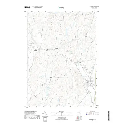
2019 Map of Granville
USGS Topo · Published 2019About this map
The Mettawee River carves through this borderland corridor, anchoring a chain of long-established settlements including Truthville, Raceville, and Middle Granville. In the late 2010s, this landscape remains defined by its varied topography, from the heights of The Pinnacle and Tanner Hill to the low-lying Hollister Swamp. Genealogists will find an exceptional concentration of burial sites, such as the Old Quaker Cem and North Granville Cem, which reflect the area's diverse religious and social history. The inclusion of the Granville Airport and the winding Indian River illustrates the modern infrastructure layered over the older agricultural and hamlet patterns of Washington County. The boundary with Rutland County, Vermont, runs along the eastern edge, showing the proximity of cross-state connections in this rural valley.
Find a feature on this map
103 named features on this map. Tap any name to fly to it.
Don’t see what you’re looking for? This feature index may not catch every label — zoom into the map to look around manually.
Map Details
Editions of this 2019 Granville Map
This is the sole edition of this map. No revisions or reprints were ever made.
Other maps of this area

1893 · Fort Ann
USGS Topo · 1:62,500

1893 · Whitehall
USGS Topo · 1:62,500

1894 · Pawlet
USGS Topo · 1:62,500

1895 · Whitehall
USGS Topo · 1:62,500

1895 · Fort Ann
USGS Topo · 1:62,500

1895 · Castleton
USGS Topo · 1:62,500

1897 · Pawlet
USGS Topo · 1:62,500

1897 · Castleton
USGS Topo · 1:62,500

1898 · Whitehall
USGS Topo · 1:62,500

1898 · Fort Ann
USGS Topo · 1:62,500