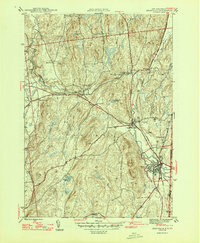
1946 Map of Granville
USGS Topo · Published 1946About this map
The Mettawee River winds through this 1944 survey, serving as the primary geographic corridor for a cluster of rural settlements including Middle Granville, Truthville, and North Granville. The landscape is defined by its agricultural character and the presence of the Delaware and Hudson railroad, which parallels the river and connects the larger village of Granville to the surrounding hills. This transit network supported the local slate industry, though the map focuses on the residential and civic structure of the mid-1940s.
Find a feature on this map
32 named features on this map. Tap any name to fly to it.
Don’t see what you’re looking for? This feature index may not catch every label — zoom into the map to look around manually.
Map Details
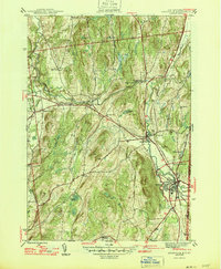
Editions of this 1946 Granville Map
2 editions found
Other maps of this area

1893 · Fort Ann
USGS Topo · 1:62,500

1893 · Whitehall
USGS Topo · 1:62,500

1894 · Pawlet
USGS Topo · 1:62,500

1895 · Whitehall
USGS Topo · 1:62,500

1895 · Fort Ann
USGS Topo · 1:62,500

1895 · Castleton
USGS Topo · 1:62,500

1897 · Pawlet
USGS Topo · 1:62,500

1897 · Castleton
USGS Topo · 1:62,500

1898 · Whitehall
USGS Topo · 1:62,500

1898 · Fort Ann
USGS Topo · 1:62,500