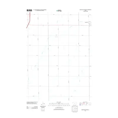
2013 Map of Granville West
USGS Topo · Published 2013About this map
The small Iowa settlement of Grandville sits at the edge of this survey, anchored by a tight grid of residential streets including Oak St, Ash St, and Maple St. The surrounding landscape is defined by the rigid geometry of the section-line road system, where corridors such as Larch Ave and 450th St divide the agricultural territory. This order is interrupted only by the meandering paths of Willow Cr, Granville Cr, and Deep Cr, which carve natural drainage patterns through the terrain. The map reflects a modern rural Iowa township during the early 2010s, showing the intersection of heavy infrastructure, like the highway corridor on the western edge, with the traditional farming layout of Sioux County.
Find a feature on this map
26 named features on this map. Tap any name to fly to it.
Don’t see what you’re looking for? This feature index may not catch every label — zoom into the map to look around manually.
Map Details
Editions of this 2013 Granville West Map
This is the sole edition of this map. No revisions or reprints were ever made.
Other maps of this area

1954 · Fairmont
USGS Topo · 1:250,000

1954 · Fort Dodge
USGS Topo · 1:250,000

1955 · Sioux City
USGS Topo · 1:250,000

1955 · Sioux Falls
USGS Topo · 1:250,000

1957 · Fort Dodge
USGS Topo · 1:250,000

1958 · Sioux City
USGS Topo · 1:250,000

1958 · Sioux Falls
USGS Topo · 1:250,000

1958 · Fort Dodge
USGS Topo · 1:250,000

1958 · Fairmont
USGS Topo · 1:250,000

1959 · Sioux City
USGS Topo · 1:250,000