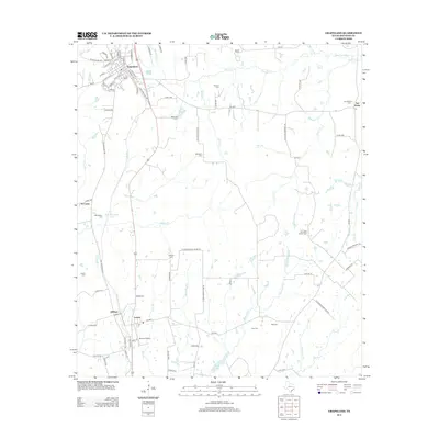
2013 Map of Grapeland
USGS Topo · Published 2013About this map
Grapeland sits at the northern end of this Houston County landscape, where the street grid fans out along State Hwy Loop 531 and a dense network of local roads. The map highlights a rural infrastructure defined by numerous family and community burial grounds, such as McCarthy Chapel Cem, Denson Cem, and Milligan Cem, which are scattered among the tributaries of Stowe Cr and Bennett Cr. To the south, the settlements of Latexo and Oldham appear near the Bruner Airport, illustrating the continued importance of these small hubs. The eastern edge of the quadrangle is marked by San Pedro and its corresponding San Pedro PO, while the hydrological landscape is punctuated by Bison Lake and M R Murchison Lake, serving as focal points for the surrounding agricultural tracts and wooded creek bottoms.
Find a feature on this map
93 named features on this map. Tap any name to fly to it.
Don’t see what you’re looking for? This feature index may not catch every label — zoom into the map to look around manually.
Map Details
Editions of this 2013 Grapeland Map
This is the sole edition of this map. No revisions or reprints were ever made.
Other maps of this area

1950 · Crockett
USGS Topo · 1:24,000

1950 · Crockett NE
USGS Topo · 1:24,000

1951 · Crockett
USGS Topo · 1:24,000

1951 · Grapeland
USGS Topo · 1:24,000

1951 · Berea
USGS Topo · 1:24,000

1951 · Crockett NE
USGS Topo · 1:24,000

1951 · Elkhart
USGS Topo · 1:62,500

1952 · Slocum
USGS Topo · 1:62,500

1953 · Palestine
USGS Topo · 1:250,000

1957 · Palestine
USGS Topo · 1:250,000