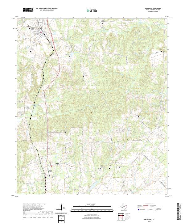
2022 Map of Grapeland
USGS Topo · Published 2022About this map
Grapeland anchors the northern portion of this East Texas survey, revealing a town layout defined by the central corridor of N Main St and S Market St. The surrounding landscape is a complex network of small waterways and family-named landmarks, reflecting a deep-seated rural settlement pattern. Numerous small burial grounds, such as the Lester Patton Family Cem and the Denson Homesite Cem, are scattered across the drainage basins of Bennett Cr and San Pedro Cr, offering valuable clues for genealogical research.
Find a feature on this map
83 named features on this map. Tap any name to fly to it.
Don’t see what you’re looking for? This feature index may not catch every label — zoom into the map to look around manually.
Map Details
Editions of this 2022 Grapeland Map
This is the sole edition of this map. No revisions or reprints were ever made.
Other maps of this area

1950 · Crockett
USGS Topo · 1:24,000

1950 · Crockett NE
USGS Topo · 1:24,000

1951 · Crockett
USGS Topo · 1:24,000

1951 · Grapeland
USGS Topo · 1:24,000

1951 · Berea
USGS Topo · 1:24,000

1951 · Crockett NE
USGS Topo · 1:24,000

1951 · Elkhart
USGS Topo · 1:62,500

1952 · Slocum
USGS Topo · 1:62,500

1953 · Palestine
USGS Topo · 1:250,000

1957 · Palestine
USGS Topo · 1:250,000