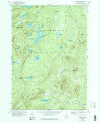
1973 Map of Graphite
USGS Topo · Published 1975About this map
Adirondack State Park encompasses this high-elevation landscape, where the northern mountain peaks meet the lower valley settlements of Chilson and Hague. The interior is defined by a complex network of glacial ponds and ridges, notably Putnam Pond, Pharaoh Lake, and the uniquely named Grizzle Ocean. Traces of the region's extractive history are visible at the namesake settlement of Graphite and a nearby Mine located south of Rock Pond Mtn, markers of the area's industrial past before it transitioned toward a recreation-focused economy.
Find a feature on this map
71 named features on this map. Tap any name to fly to it.
Don’t see what you’re looking for? This feature index may not catch every label — zoom into the map to look around manually.
Map Details
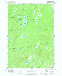
Editions of this 1973 Graphite Map
2 editions found
Other maps of this area

1893 · Whitehall
USGS Topo · 1:62,500

1894 · Ticonderoga
USGS Topo · 1:62,500

1895 · Whitehall
USGS Topo · 1:62,500

1895 · Paradox Lake
USGS Topo · 1:62,500

1896 · Ticonderoga
USGS Topo · 1:62,500

1897 · Bolton
USGS Topo · 1:62,500

1897 · Paradox Lake
USGS Topo · 1:62,500

1898 · Whitehall
USGS Topo · 1:62,500

1900 · Bolton
USGS Topo · 1:62,500

1902 · Whitehall
USGS Topo · 1:62,500