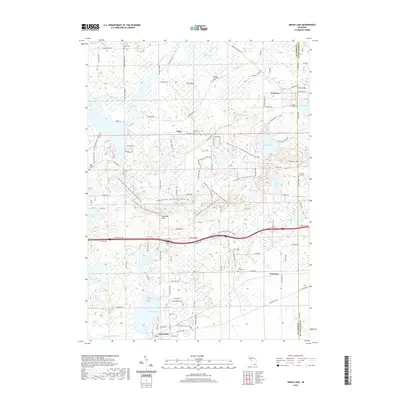
2019 Map of Grass Lake
USGS Topo · Published 2019About this map
Grass Lake and the surrounding marshlands of Jackson Co define this landscape, where the southern Michigan terrain is dominated by glacial depressions and significant water bodies. The settlement of Grass Lake sits at the southern edge, while the smaller village of Waterloo and the hamlet of Francisco are positioned amidst a complex network of wetlands like Portage Lake Swamp and numerous named lakes including Tims Lake, Riley Lake, and Clear Lake. This area reflects a long-standing rural cemetery tradition, with several family and denominational sites such as Mount Hope Cem, German Lutheran Cem, and Saint John's Cem scattered across the township.
Find a feature on this map
104 named features on this map. Tap any name to fly to it.
Don’t see what you’re looking for? This feature index may not catch every label — zoom into the map to look around manually.
Map Details
Editions of this 2019 Grass Lake Map
This is the sole edition of this map. No revisions or reprints were ever made.
Other maps of this area

1919 · Stockbridge
USGS Topo · 1:62,500

1919 · Rives Junction
USGS Topo · 1:62,500

1921 · Rives Junction
USGS Topo · 1:62,500

1922 · Stockbridge
USGS Topo · 1:62,500

1935 · Jackson
USGS Topo · 1:48,000

1939 · Jackson
USGS Topo · 1:62,500

1942 · Stockbridge
USGS Topo · 1:62,500

1948 · Manchester
USGS Topo · 1:62,500

1949 · Manchester
USGS Topo · 1:62,500

1958 · Grand Rapids
USGS Topo · 1:250,000