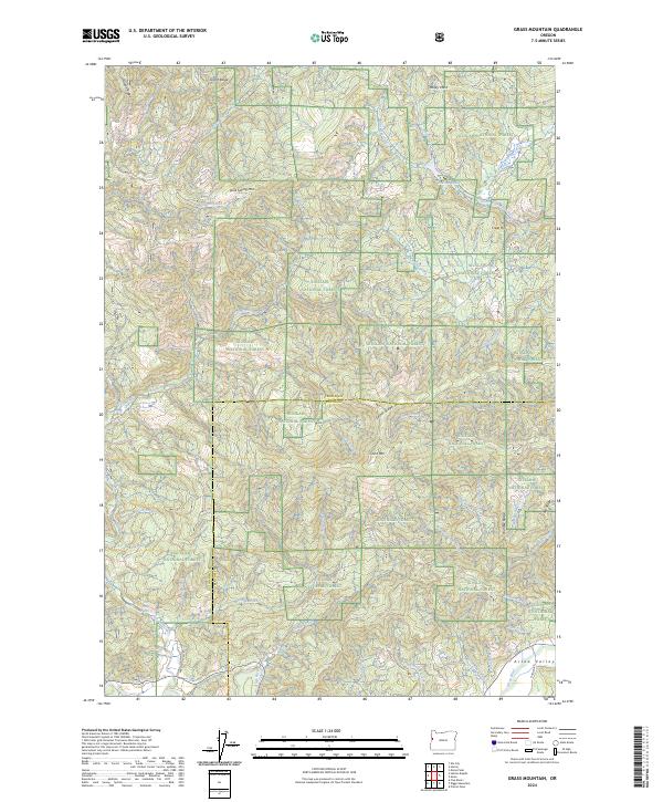
2024 Map of Grass Mountain
USGS Topo · Published 2024About this map
Siuslaw National Forest covers much of this coastal range landscape, where high ridgelines like Grant Ridge and Easter Ridge define the drainage basins for numerous creeks. The terrain is anchored by Grass Mtn and Lone Spring Mtn, with the southeastern portion of the map transitioning into the more level Alsea Valley. This area is shaped by a dense network of waterways, including the North Fork Alsea River and the Alsea River, which are fed by smaller streams like Hatchery Creek and Mill Creek.
Find a feature on this map
44 named features on this map. Tap any name to fly to it.
Don’t see what you’re looking for? This feature index may not catch every label — zoom into the map to look around manually.
Map Details
Editions of this 2024 Grass Mountain Map
This is the sole edition of this map. No revisions or reprints were ever made.
Other maps of this area

1939 · Marys Peak
USGS Topo · 1:62,500

1942 · Marys Peak
USGS Topo · 1:62,500

1942 · Alsea
USGS Topo · 1:62,500

1942 · Tidewater
USGS Topo · 1:62,500

1942 · Toledo
USGS Topo · 1:62,500

1953 · Salem
USGS Topo · 1:250,000

1954 · Salem
USGS Topo · 1:250,000

1956 · Alsea
USGS Topo · 1:62,500

1956 · Tidewater
USGS Topo · 1:62,500

1957 · Marys Peak
USGS Topo · 1:62,500