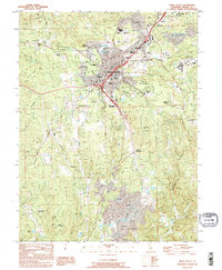
1995 Map of Grass Valley
USGS Topo · Published 1995About this map
The gold-mining legacy of Northern California is deeply etched into this landscape, centered on Grass Valley and Nevada City. The map reveals an extensive network of historic workings, most notably the Empire Mine State Historic Park and the Idaho-Maryland Mine, which dominated the local economy for decades. These sites are surrounded by family landmarks and early infrastructure, including St Patricks Cem and the Nevada County Fairgrounds.
Find a feature on this map
56 named features on this map. Tap any name to fly to it.
Don’t see what you’re looking for? This feature index may not catch every label — zoom into the map to look around manually.
Map Details
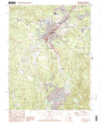
Editions of this 1995 Grass Valley Map
2 editions found
Other maps of this area

1888 · Smartsville
USGS Topo · 1:125,000

1891 · Colfax
USGS Topo · 1:125,000

1891 · Smartsville
USGS Topo · 1:125,000

1892 · Smartsville
USGS Topo · 1:125,000

1892 · Colfax
USGS Topo · 1:125,000

1894 · Colfax
USGS Topo · 1:125,000

1894 · Smartsville
USGS Topo · 1:125,000

1895 · Smartsville
USGS Topo · 1:125,000

1898 · Colfax
USGS Topo · 1:125,000

1900 · Colfax
USGS Topo · 1:125,000