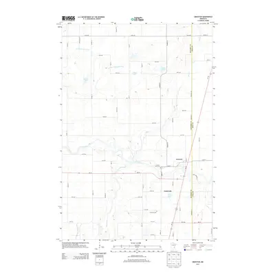
2013 Map of Grasston
USGS Topo · Published 2013About this map
Grasston sits near the confluence of the Snake River and Rice Creek, serving as a central point in this part of eastern Minnesota. The landscape is defined by its complex water systems, where natural features like Grass Lake and Spence Lake are integrated with an extensive network of man-made channels including County Ditch Number One and County Ditch Number Four. This drainage infrastructure reflects the area's agricultural history and the ongoing management of the low-lying terrain.
Find a feature on this map
54 named features on this map. Tap any name to fly to it.
Don’t see what you’re looking for? This feature index may not catch every label — zoom into the map to look around manually.
Map Details
Editions of this 2013 Grasston Map
This is the sole edition of this map. No revisions or reprints were ever made.
Other maps of this area
1953 · Stillwater
USGS Topo · 1:250,000
1955 · Stillwater
USGS Topo · 1:250,000
1958 · Stillwater
USGS Topo · 1:250,000
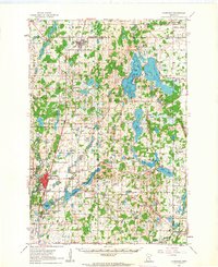
1961 · Cambridge
USGS Topo · 1:62,500
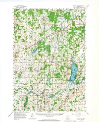
1961 · Brook Park
USGS Topo · 1:62,500
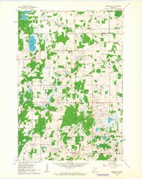
1961 · Springvale
USGS Topo · 1:24,000
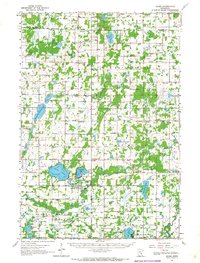
1961 · Dalbo
USGS Topo · 1:62,500
1965 · Stillwater
USGS Topo · 1:250,000
1968 · Mora North
USGS Topo · 1:24,000
1968 · Mora South
USGS Topo · 1:24,000