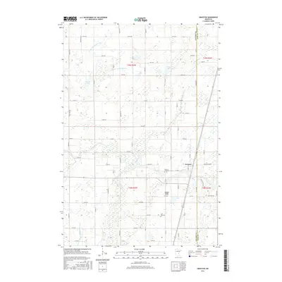
2016 Map of Grasston
USGS Topo · Published 2016About this map
Grasston stands as a focal point near the eastern boundary of Kanabec County, situated where the terrain transitions toward the neighboring Pine County line. The landscape is defined by an intricate network of wetlands and watercourses, most notably the winding path of the Snake River, which draws in tributaries like Mud Creek and Rice Creek. This 2016 survey illustrates a largely rural township structure, anchored by several prominent water bodies including Grass Lake, Sells Lake, and the Twin Lakes. For those researching local families, the map identifies two key burial sites: Grasston Union Cem near the town center and Grass Lake Cem further south. The presence of engineered waterways like County Ditch Number One and County Ditch Number Five highlights the historical and ongoing management of this marshy Minnesota environment for agricultural and residential use.
Find a feature on this map
67 named features on this map. Tap any name to fly to it.
Don’t see what you’re looking for? This feature index may not catch every label — zoom into the map to look around manually.
Map Details
Editions of this 2016 Grasston Map
This is the sole edition of this map. No revisions or reprints were ever made.
Other maps of this area
1953 · Stillwater
USGS Topo · 1:250,000
1955 · Stillwater
USGS Topo · 1:250,000
1958 · Stillwater
USGS Topo · 1:250,000
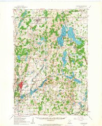
1961 · Cambridge
USGS Topo · 1:62,500
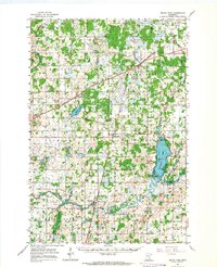
1961 · Brook Park
USGS Topo · 1:62,500
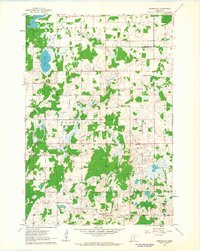
1961 · Springvale
USGS Topo · 1:24,000
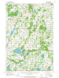
1961 · Dalbo
USGS Topo · 1:62,500
1965 · Stillwater
USGS Topo · 1:250,000
1968 · Mora North
USGS Topo · 1:24,000
1968 · Mora South
USGS Topo · 1:24,000