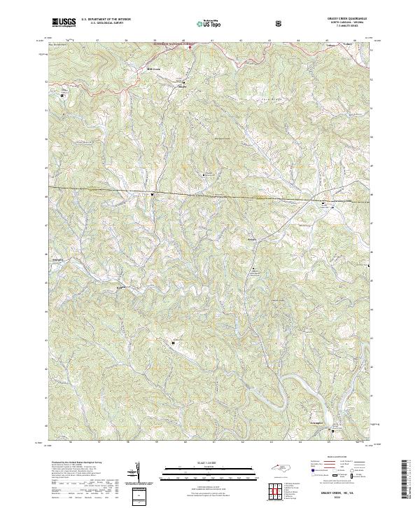
2022 Map of Grassy Creek
USGS Topo · Published 2022About this map
Jefferson National Forest dominates the northern reaches of this landscape, where the rugged border between Grayson County, Virginia, and Ashe County, North Carolina, meets. The terrain is defined by prominent peaks like Haw Orchard Mountain and Helton Knob, with numerous branches and creeks carving through the high elevations. The area’s spiritual and social history is deeply rooted in several rural congregations, evidenced by the Corinth Baptist Church Cemetery and Pleasant Home Baptist Church Cemetery. These burial grounds, along with family-named sites such as Dickson Cemetery, provide significant points for genealogical study. The settlement pattern follows the waterways, with small communities like Helton, Crumpler, and Rugby established along the winding paths of Helton Creek and the North Fork New River. The network of secondary roads, including Rugby Road and Silas Creek Road, connects these isolated valleys across the state line.
Find a feature on this map
113 named features on this map. Tap any name to fly to it.
Don’t see what you’re looking for? This feature index may not catch every label — zoom into the map to look around manually.
Map Details
Editions of this 2022 Grassy Creek Map
This is the sole edition of this map. No revisions or reprints were ever made.
Other maps of this area

1889 · Wytheville
USGS Topo · 1:125,000

1889 · Wilkesboro
USGS Topo · 1:125,000

1891 · Abingdon
USGS Topo · 1:125,000

1891 · Wilkesboro
USGS Topo · 1:125,000

1892 · Wytheville
USGS Topo · 1:125,000

1893 · Cranberry
USGS Topo · 1:125,000

1894 · Abingdon
USGS Topo · 1:125,000

1895 · Cranberry
USGS Topo · 1:125,000

1899 · Cranberry
USGS Topo · 1:125,000

1902 · Cranberry
USGS Topo · 1:125,000