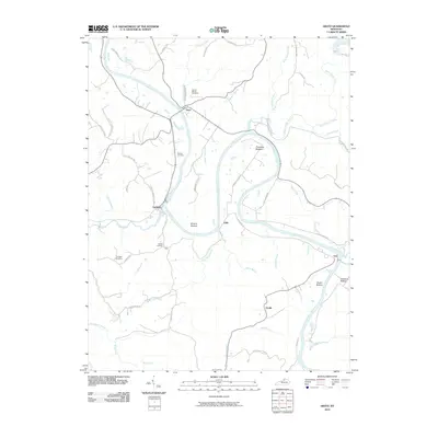
2010 Map of Gratz
USGS Topo · Published 2010About this map
The Kentucky River carves a deep, winding path through this portion of Owen County, anchoring several riverfront settlements and agricultural bottomlands. The town of Gratz sits at a prominent bend in the river, connected to the surrounding countryside by historical routes like Clay Lick Pike and Citizens Pike. Downstream, the community of Lockport is situated near several family-linked sites, including the Wallace Cemetery and Beverly Cemetery.
Find a feature on this map
54 named features on this map. Tap any name to fly to it.
Don’t see what you’re looking for? This feature index may not catch every label — zoom into the map to look around manually.
Map Details
Editions of this 2010 Gratz Map
This is the sole edition of this map. No revisions or reprints were ever made.
Other maps of this area

1906 · Lockport
USGS Topo · 1:48,000

1908 · Lockport
USGS Topo · 1:62,500

1928 · New Castle
USGS Topo · 1:48,000

1932 · New Castle
USGS Topo · 1:62,500

1950 · New Liberty
USGS Topo · 1:24,000

1950 · Owenton
USGS Topo · 1:24,000

1952 · Worthville
USGS Topo · 1:24,000

1953 · Monterey
USGS Topo · 1:24,000

1953 · Gratz
USGS Topo · 1:24,000

1953 · Polsgrove
USGS Topo · 1:24,000