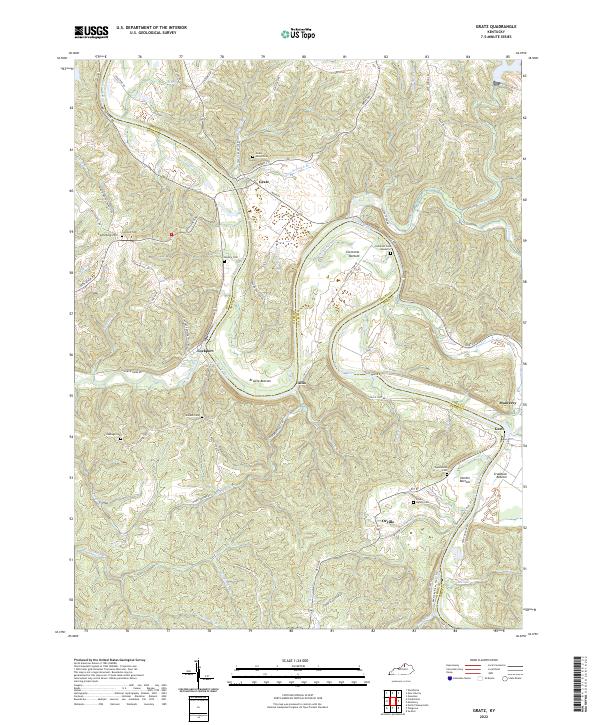
2022 Map of Gratz
USGS Topo · Published 2022About this map
The Kentucky River winds sharply through this rural landscape on the border of Owen and Henry Counties, defining the life and movement of the region. Steep ridges and deeply carved creek valleys like Crooked Cr and Severn Creek dictate the layout of the small settlements that serve as local hubs. Gratz and Lockport sit at critical bends in the river, while Monterey anchors the eastern edge of the sheet. The valley floor is divided into broad bottomlands, including Browns Bottom and Hardin Bottom, which have historically supported the area's agricultural life.
Find a feature on this map
78 named features on this map. Tap any name to fly to it.
Don’t see what you’re looking for? This feature index may not catch every label — zoom into the map to look around manually.
Map Details
Editions of this 2022 Gratz Map
This is the sole edition of this map. No revisions or reprints were ever made.
Other maps of this area

1906 · Lockport
USGS Topo · 1:48,000

1908 · Lockport
USGS Topo · 1:62,500

1928 · New Castle
USGS Topo · 1:48,000

1932 · New Castle
USGS Topo · 1:62,500

1950 · New Liberty
USGS Topo · 1:24,000

1950 · Owenton
USGS Topo · 1:24,000

1952 · Worthville
USGS Topo · 1:24,000

1953 · Monterey
USGS Topo · 1:24,000

1953 · Gratz
USGS Topo · 1:24,000

1953 · Polsgrove
USGS Topo · 1:24,000