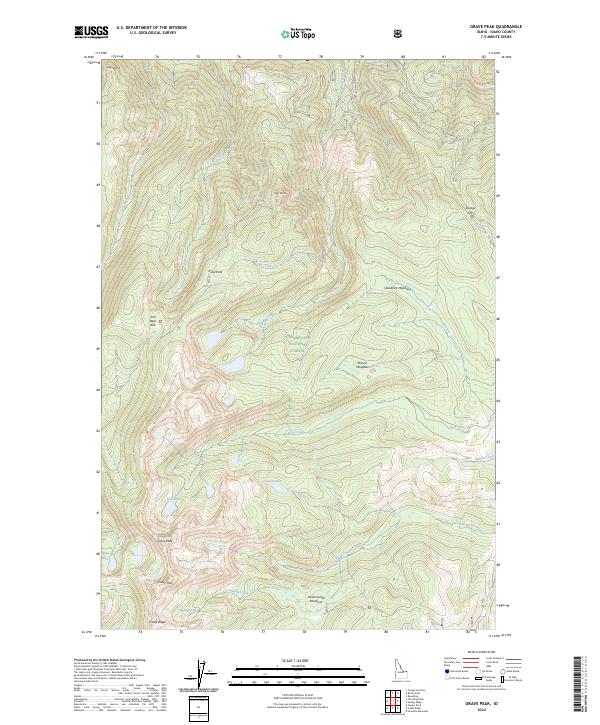
2024 Map of Grave Peak
USGS Topo · Published 2024About this map
Selway-Bitterroot Wilderness and Clearwater National Forest dominate this high-elevation landscape, where the peaks and passes define the geography. The terrain is marked by significant landmarks like Grave Peak and Goat Roost, which overlook a network of alpine lakes including Colt Lake, Grouse Lake, and Wind Lakes. The map reveals the intricate water systems that feed into Swamp Creek and Colt Creek.
Find a feature on this map
44 named features on this map. Tap any name to fly to it.
Don’t see what you’re looking for? This feature index may not catch every label — zoom into the map to look around manually.
Map Details
Editions of this 2024 Grave Peak Map
This is the sole edition of this map. No revisions or reprints were ever made.
Other maps of this area

1911 · Lolo
USGS Topo · 1:250,000

1913 · Lolo
USGS Topo · 1:250,000

1956 · Hamilton
USGS Topo · 1:250,000

1959 · Hamilton
USGS Topo · 1:250,000

1960 · Hamilton
USGS Topo · 1:250,000

1964 · Hamilton
USGS Topo · 1:250,000

1964 · Rocky Point
USGS Topo · 1:24,000

1964 · Roundtop
USGS Topo · 1:24,000

1966 · Grave Peak
USGS Topo · 1:24,000
1966 · Hungry Rock
USGS Topo · 1:24,000