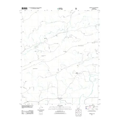
2011 Map of Gravelly
USGS Topo · Published 2011About this map
Gravelly and its surrounding rural communities occupy a landscape defined by the ridges of Dutch Creek Mountain and Chop Off Mountain during the early 21st century. The settlement pattern follows the fertile valleys carved by the Fourche LaFave River and the meandering Dutch Creek, where small clusters like Blue Ball, Nola, and Young are connected by forest service roads and county routes. Local history is anchored by sites like the Egypt Cemetery and the Gravelly Post Office, serving as enduring landmarks for a region shaped by both its mountain geography and its agricultural roots. The presence of the Dutch Creek Mountain Scenic Area highlights the transition from managed forest land to preserved natural spaces, while family-named features like Oil Well Hollow and Honey Cut Gap suggest a history of resource extraction and local passage through the high country.
Find a feature on this map
35 named features on this map. Tap any name to fly to it.
Don’t see what you’re looking for? This feature index may not catch every label — zoom into the map to look around manually.
Map Details
Editions of this 2011 Gravelly Map
This is the sole edition of this map. No revisions or reprints were ever made.
Other maps of this area

1879 · Mountain Home
USGS Topo · 1:62,500

1887 · Magazine Mountain #4
USGS Topo · 1:62,500

1887 · Mount Ida #2
USGS Topo · 1:62,500

1887 · Magazine Mountain #3
USGS Topo · 1:62,500

1887 · Magazine Mountain
USGS Topo · 1:62,500

1890 · Magazine Mountain
USGS Topo · 1:125,000

1890 · Mount Ida
USGS Topo · 1:125,000

1934 · Booneville
USGS Topo · 1:48,000

1939 · Booneville
USGS Topo · 1:62,500

1955 · Little Rock
USGS Topo · 1:250,000