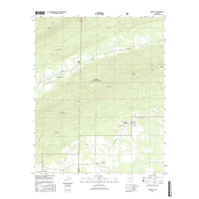
2017 Map of Gravelly
USGS Topo · Published 2017About this map
Blue Ball and Gravelly serve as the primary nodes of settlement in this part of Arkansas, where the landscape is defined by the high ridges of the Ouachita National Forest. The map documents a rural network of cemeteries that serve these small communities, including Egypt Cem, Parks Cem, and Red Hill Cem. These burial grounds are often the most enduring physical records of family lineage in the area. Drainage is dominated by Dutch Cr and the Fourche LaFave River, which cut through the prominent elevations of Dutch Creek Mtn and Petit Jean Mtn. The transport network follows these natural corridors, with Cheyenne Rd and Wildforest Rd navigating the gaps like Honey Cut Gap and Callahan Gap, illustrating how the terrain dictated the movement of early residents.
Find a feature on this map
53 named features on this map. Tap any name to fly to it.
Don’t see what you’re looking for? This feature index may not catch every label — zoom into the map to look around manually.
Map Details
Editions of this 2017 Gravelly Map
This is the sole edition of this map. No revisions or reprints were ever made.
Other maps of this area
1879 · Mountain Home
USGS Topo · 1:62,500
1887 · Magazine Mountain #4
USGS Topo · 1:62,500
1887 · Mount Ida #2
USGS Topo · 1:62,500
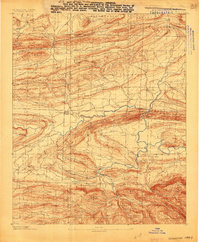
1887 · Magazine Mountain #3
USGS Topo · 1:62,500
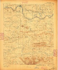
1887 · Magazine Mountain
USGS Topo · 1:62,500
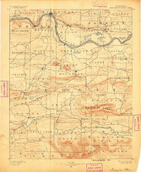
1890 · Magazine Mountain
USGS Topo · 1:125,000
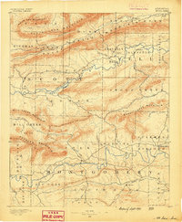
1890 · Mount Ida
USGS Topo · 1:125,000
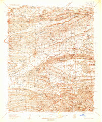
1934 · Booneville
USGS Topo · 1:48,000
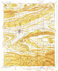
1939 · Booneville
USGS Topo · 1:62,500
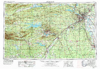
1955 · Little Rock
USGS Topo · 1:250,000