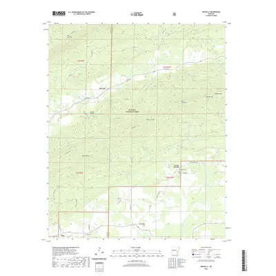
2020 Map of Gravelly
USGS Topo · Published 2020About this map
The Fourche La Fave River winds through the southern portion of this region, anchoring a landscape defined by the ridges of the Ouachita National Forest. This area of the Scott Co and Yell Co border is characterized by small, dispersed settlements like Blue Ball, Gravelly, and Nola. The map documents a rugged terrain of high points such as Petit Jean Mtn, Chop Off Mtn, and Dutch Creek Mtn, which are punctuated by natural passes including Honey Cut Gap and Callahan Gap.
Find a feature on this map
55 named features on this map. Tap any name to fly to it.
Don’t see what you’re looking for? This feature index may not catch every label — zoom into the map to look around manually.
Map Details
Editions of this 2020 Gravelly Map
This is the sole edition of this map. No revisions or reprints were ever made.
Other maps of this area

1879 · Mountain Home
USGS Topo · 1:62,500

1887 · Magazine Mountain #4
USGS Topo · 1:62,500

1887 · Mount Ida #2
USGS Topo · 1:62,500

1887 · Magazine Mountain #3
USGS Topo · 1:62,500

1887 · Magazine Mountain
USGS Topo · 1:62,500

1890 · Magazine Mountain
USGS Topo · 1:125,000

1890 · Mount Ida
USGS Topo · 1:125,000

1934 · Booneville
USGS Topo · 1:48,000

1939 · Booneville
USGS Topo · 1:62,500

1955 · Little Rock
USGS Topo · 1:250,000