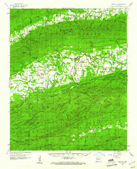
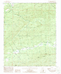
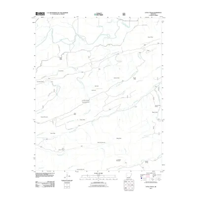
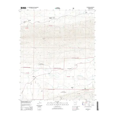
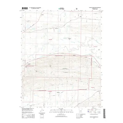
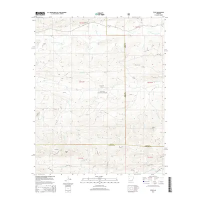
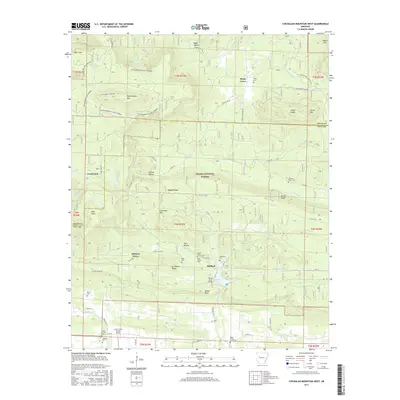
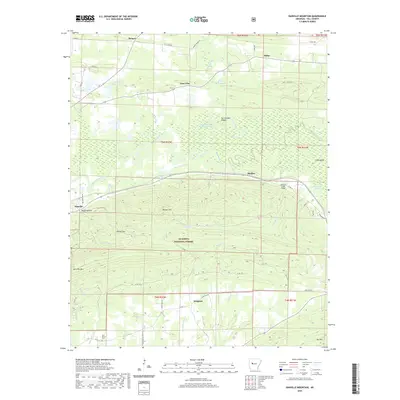
1960 Map of Gravelly
USGS Topo · Published 1961About this map
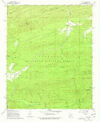
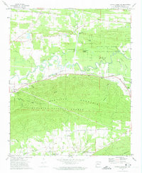
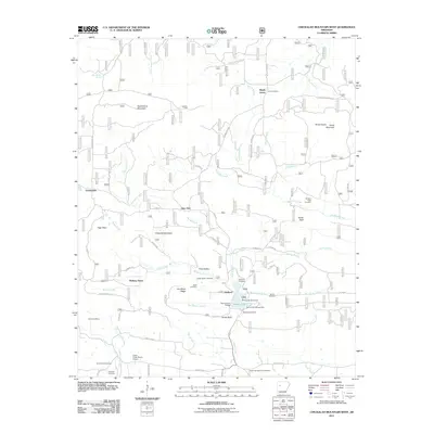
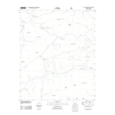
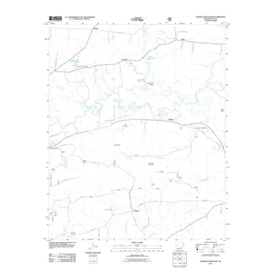
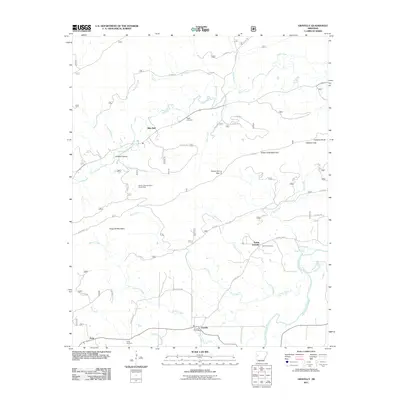
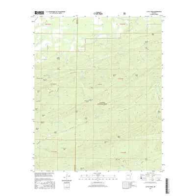
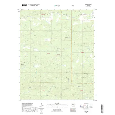
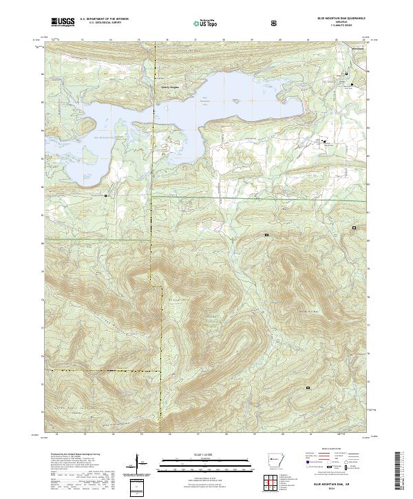
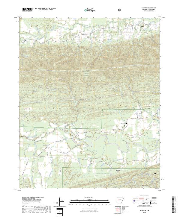
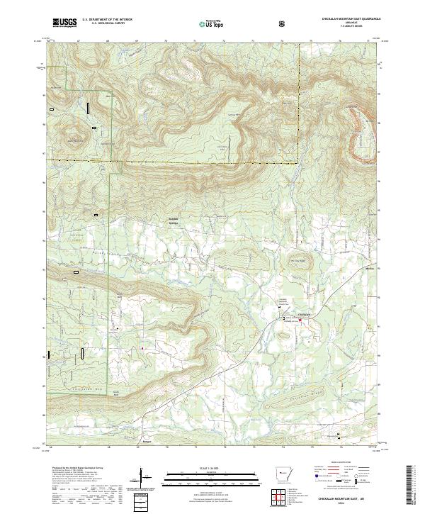
Fourche River winds through the heart of this central Arkansas landscape, creating a fertile valley floor between the high ridges of the Ouachita National Forest. The settlement pattern in the early 1960s reveals small, closely-knit communities like Gravelly, Bluffton, and Blue Ball, many centered around local institutions such as Mulberry Ch and the Fourche Valley Sch. The topographic detail highlights the varied terrain of Bogus Ridge and Hunt Mountain, where numerous family-named hollows and gaps, such as Callahan Gap, define the local geography. This survey provides a vital record for genealogists tracing ancestors in rural Yell and Scott Counties, documenting many smaller sites like Tate Town and Young Gravelly, alongside several burial grounds including Egypt Cem and Mt Pleasant Cem.
Find a feature on this map
130 named features on this map. Tap any name to fly to it.
Don’t see what you’re looking for? This feature index may not catch every label — zoom into the map to look around manually.
Map Details
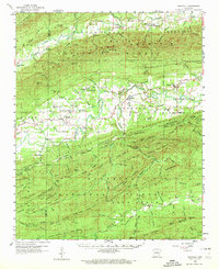
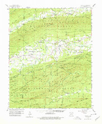
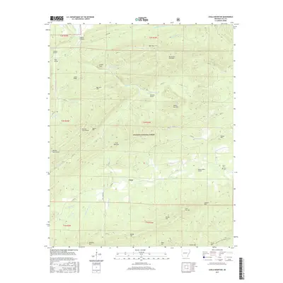
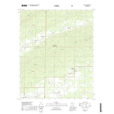
Editions of this 1960 Gravelly Map
3 editions found
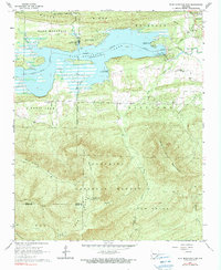
Historical Maps of Nola Through Time
63 maps found

1888 Dardanelle #3
Yell County, AR

1888 Dardanelle #4
Yell County, AR
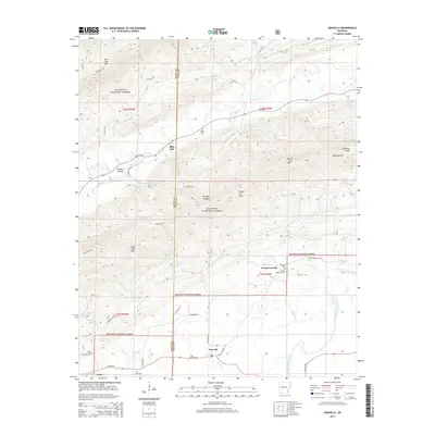
1960 Gravelly
Yell County, AR
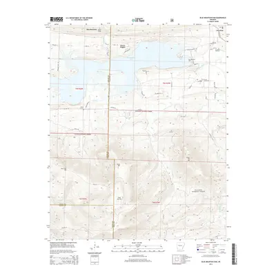
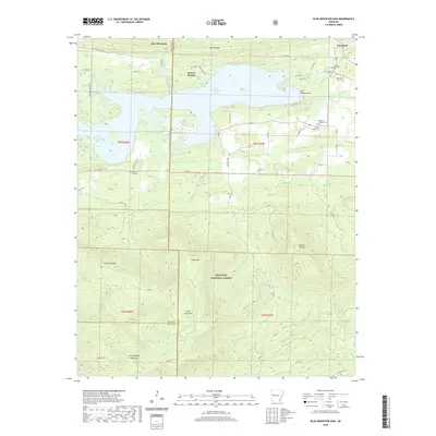
1966 Blue Mountain Dam
Yell County, AR
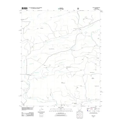
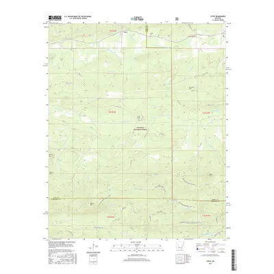
1968 Onyx
Yell County, AR
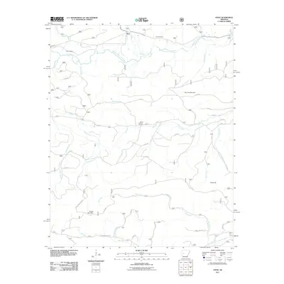
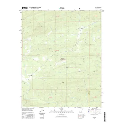
1968 Steve
Yell County, AR
1972 Chickalah Mountain East
Yell County, AR
1972 Chickalah Mountain West
Yell County, AR
1972 Danville Mountain
Yell County, AR
1985 Bluffton
Yell County, AR
1985 Gravelly
Yell County, AR
1985 Little Texas
Yell County, AR
1986 Chula Mountain
Yell County, AR
2011 Blue Mountain Dam
Yell County, AR
2011 Bluffton
Yell County, AR
2011 Chickalah Mountain East
Yell County, AR
2011 Chickalah Mountain West
Yell County, AR
2011 Chula Mountain
Yell County, AR
2011 Danville Mountain
Yell County, AR
2011 Gravelly
Yell County, AR
2011 Little Texas
Yell County, AR
2011 Onyx
Yell County, AR
2011 Steve
Yell County, AR
2014 Blue Mountain Dam
Yell County, AR
2014 Bluffton
Yell County, AR
2014 Chickalah Mountain East
Yell County, AR
2014 Chickalah Mountain West
Yell County, AR
2014 Chula Mountain
Yell County, AR
2014 Danville Mountain
Yell County, AR
2014 Gravelly
Yell County, AR
2014 Little Texas
Yell County, AR
2014 Onyx
Yell County, AR
2014 Steve
Yell County, AR
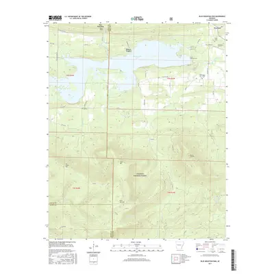
2017 Blue Mountain Dam
Yell County, AR
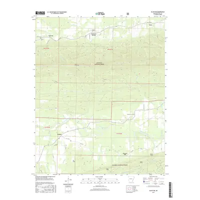
2017 Bluffton
Yell County, AR
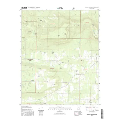
2017 Chickalah Mountain East
Yell County, AR
2017 Chickalah Mountain West
Yell County, AR
2017 Chula Mountain
Yell County, AR
2017 Danville Mountain
Yell County, AR
2017 Gravelly
Yell County, AR
2017 Little Texas
Yell County, AR
2017 Onyx
Yell County, AR
2017 Steve
Yell County, AR
2020 Blue Mountain Dam
Yell County, AR
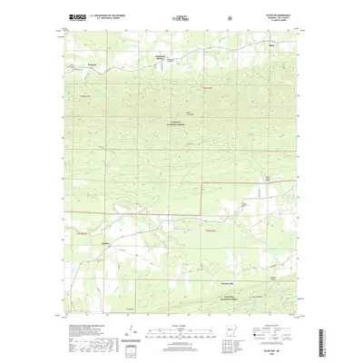
2020 Bluffton
Yell County, AR
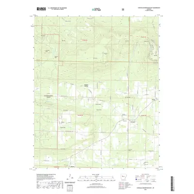
2020 Chickalah Mountain East
Yell County, AR
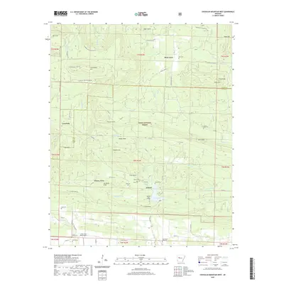
2020 Chickalah Mountain West
Yell County, AR
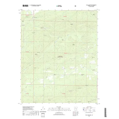
2020 Chula Mountain
Yell County, AR
2020 Danville Mountain
Yell County, AR
2020 Gravelly
Yell County, AR
2020 Little Texas
Yell County, AR
2020 Onyx
Yell County, AR
2020 Steve
Yell County, AR
2024 Blue Mountain Dam
Yell County, AR
2024 Bluffton
Yell County, AR
2024 Chickalah Mountain East
Yell County, AR
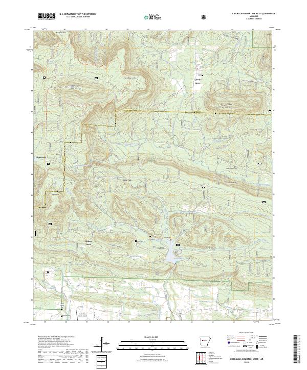
2024 Chickalah Mountain West
Yell County, AR
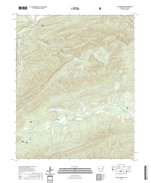
2024 Chula Mountain
Yell County, AR
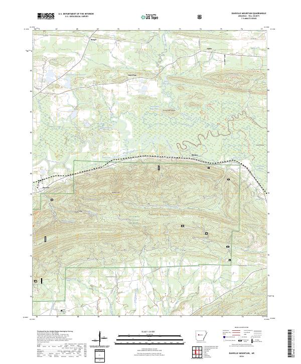
2024 Danville Mountain
Yell County, AR
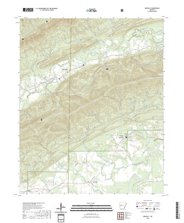
2024 Gravelly
Yell County, AR
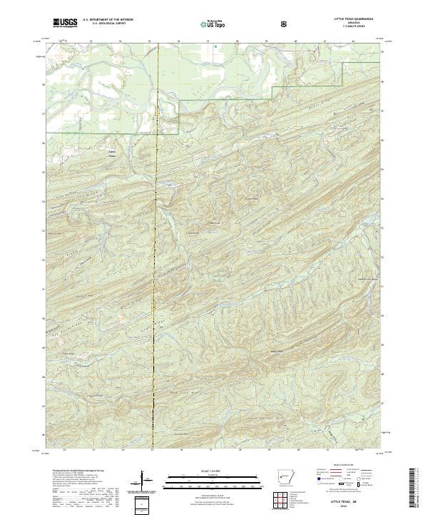
2024 Little Texas
Yell County, AR
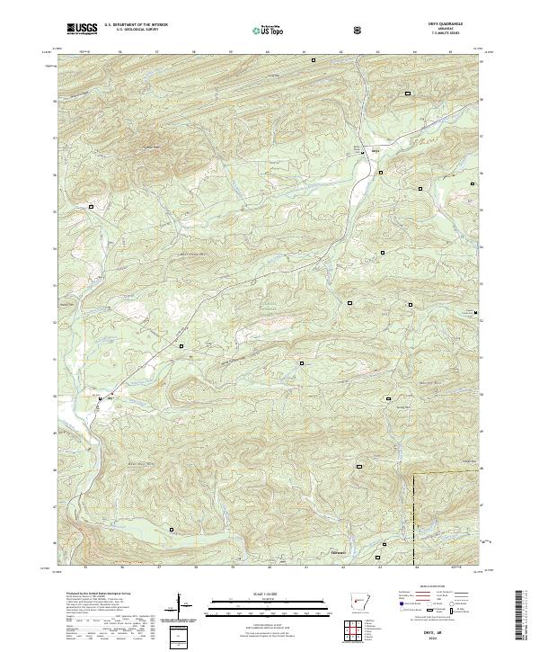
2024 Onyx
Yell County, AR
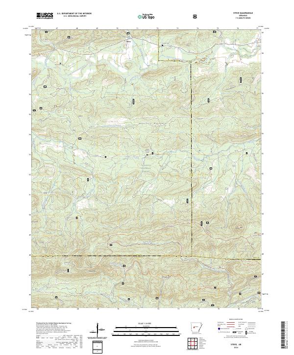
2024 Steve
Yell County, AR