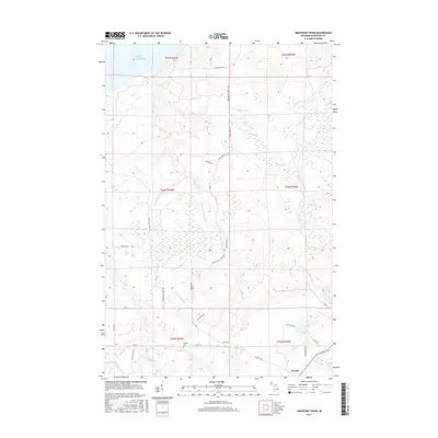
2017 Map of Graveraet River
USGS Topo · Published 2017About this map
The Graveraet River flows through the dense timberlands of Michigan’s Upper Peninsula toward the southern shore of Lake Superior. This landscape is defined by its drainage network, where the Salmon Trout River, Deer Cr, and Elm River carve through the glacial terrain of Houghton County. The settlement of Toivola serves as the primary inland hub, situated near the intersection of several local routes that speak to the area’s rural development and agricultural history.
Find a feature on this map
36 named features on this map. Tap any name to fly to it.
Don’t see what you’re looking for? This feature index may not catch every label — zoom into the map to look around manually.
Map Details
Editions of this 2017 Graveraet River Map
This is the sole edition of this map. No revisions or reprints were ever made.
Other maps of this area

1915 · Houghton
USGS Topo · 1:62,500

1946 · South Range
USGS Topo · 1:24,000

1948 · South Range
USGS Topo · 1:24,000

1954 · Graveraet River
USGS Topo · 1:24,000

1954 · Oskar
USGS Topo · 1:24,000

1954 · Beacon Hill
USGS Topo · 1:24,000

1954 · Rockhouse Point
USGS Topo · 1:24,000

1954 · Pelkie
USGS Topo · 1:62,500

1954 · Winona
USGS Topo · 1:62,500

1954 · Houghton
USGS Topo · 1:62,500