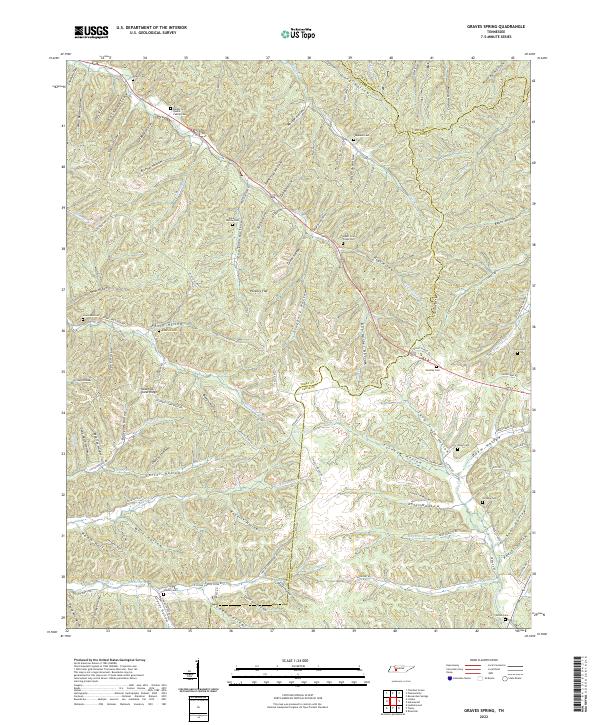
2022 Map of Graves Spring
USGS Topo · Published 2022About this map
Hickory Flat and the surrounding drainage basins of the Western Highland Rim define this landscape where the borders of Perry, Lewis, and Hickman counties converge. The terrain is a complex network of deeply incised valleys, historically referred to as hollows, which served as the primary sites for family settlements and small-scale agriculture. This area is notably dense with small family burial grounds, including the Barber and Qualls Family Cem, Poplin Hollow Cem, and Stephens Cem, often tucked into the narrow bottoms near seasonal watercourses like Hurricane Cr and Coon Cr. The road network, including the Old State Hwy 20, follows these natural contours, illustrating a long-standing reliance on the ridge-and-valley topography for movement. Distinctive landmarks such as Sassafras Stand Ridge and the Horse Pond reflect the descriptive naming conventions of the local residents who worked these timbered slopes and creek bottoms.
Find a feature on this map
115 named features on this map. Tap any name to fly to it.
Don’t see what you’re looking for? This feature index may not catch every label — zoom into the map to look around manually.
Map Details
Editions of this 2022 Graves Spring Map
This is the sole edition of this map. No revisions or reprints were ever made.
Other maps of this area

1905 · Waynesboro
USGS Topo · 1:125,000

1936 · Riverside
USGS Topo · 1:24,000

1936 · Graves Spring
USGS Topo · 1:24,000

1936 · Pleasantville
USGS Topo · 1:24,000

1936 · Beaverdam Springs
USGS Topo · 1:24,000

1936 · Linden
USGS Topo · 1:24,000

1936 · Leatherwood
USGS Topo · 1:24,000

1936 · Chestnut Grove
USGS Topo · 1:24,000

1936 · Kimmins
USGS Topo · 1:24,000

1936 · Topsy
USGS Topo · 1:24,000