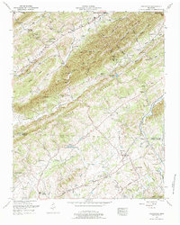
1952 Map of Graveston
USGS Topo · Published 1984About this map
Maynardville and the southern reaches of Union County meet the northern edge of Knox County in this mid-century topographic record. The landscape is defined by the rhythmic ridges of Copper Ridge and Raccoon Ridge, which funnel the waters of Bullrun Creek and its many forks. Small agricultural hubs like Corryton and Graveston serve as anchors for the local community, with the Southern railroad line providing a critical transport artery through the valley floor.
Find a feature on this map
89 named features on this map. Tap any name to fly to it.
Don’t see what you’re looking for? This feature index may not catch every label — zoom into the map to look around manually.
Map Details
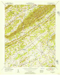
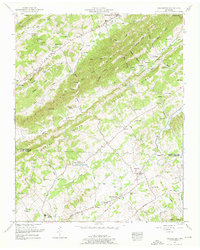
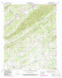
Editions of this 1952 Graveston Map
4 editions found
Other maps of this area

1897 · Maynardville
USGS Topo · 1:125,000

1900 · Maynardville
USGS Topo · 1:125,000

1935 · Luttrell
USGS Topo · 1:24,000

1935 · Mascot
USGS Topo · 1:24,000

1935 · Straw Plains
USGS Topo · 1:48,000

1935 · Graveston
USGS Topo · 1:24,000

1935 · Fountain City
USGS Topo · 1:24,000

1936 · Gorryton
USGS Topo · 1:48,000

1936 · Powder Springs
USGS Topo · 1:24,000

1936 · White Hollow
USGS Topo · 1:24,000