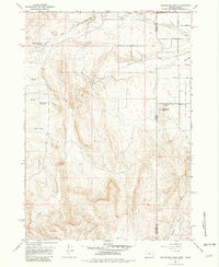
1967 Map of Graveyard Point
USGS Topo · Published 1982About this map
Succor Creek winds through this high desert terrain at the state line, illustrating the complex irrigation and water management systems necessary for ranching and agriculture in the late 1960s. The landscape is defined by its drainage systems, including Alkali Creek, Buck Gulch, and the South Canal, which move water across the border between Malheur and Owyhee counties. A Graveyard Point Historical Marker stands near the intersection of Graveyard Point Road and the Oregon-Idaho state line, marking a point of local historical significance. Topographic features like the Strode Basin and several reservoirs, such as North Alkali Draw Reservoir and Buck Gulch Reservoir, highlight the reliance on captured runoff. Smaller industrial footprints like a Quarry and Gravel Pit indicate local resource extraction near the Diversion Dam.
Find a feature on this map
31 named features on this map. Tap any name to fly to it.
Don’t see what you’re looking for? This feature index may not catch every label — zoom into the map to look around manually.
Map Details
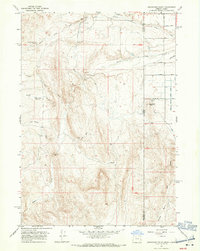
Editions of this 1967 Graveyard Point Map
2 editions found
Other maps of this area

1892 · Silver City
USGS Topo · 1:125,000

1894 · Silver City
USGS Topo · 1:125,000

1898 · Nampa
USGS Topo · 1:125,000

1898 · Silver City
USGS Topo · 1:125,000

1906 · Mitchell Butte
USGS Topo · 1:125,000

1955 · Boise
USGS Topo · 1:250,000

1957 · Wilder
USGS Topo · 1:24,000

1957 · Sands Basin
USGS Topo · 1:62,500

1958 · Boise
USGS Topo · 1:250,000

1958 · Homedale
USGS Topo · 1:24,000