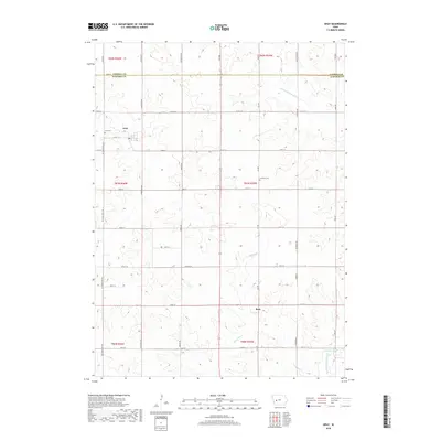
2018 Map of Gray
USGS Topo · Published 2018About this map
Gray and Ross anchor this agricultural landscape in northern Audubon County, where the terrain transitions across the boundary with Carroll County. The drainage patterns of the E Nishnabotna River and Bluegrass Cr dictate the layout of the rural road network, which follows a strict section-line grid except where interrupted by these waterways. For local historians and genealogists, the map identifies specific burial sites including Gray Cem and Cameron Cem, providing essential spatial context for family research. Small water features like Nabotna Pond are interspersed among the numerous county routes, such as Co Rd F 16 and Co Trunk Hwy N14, which facilitate movement through this productive corner of the Iowa countryside.
Find a feature on this map
40 named features on this map. Tap any name to fly to it.
Don’t see what you’re looking for? This feature index may not catch every label — zoom into the map to look around manually.
Map Details
Editions of this 2018 Gray Map
This is the sole edition of this map. No revisions or reprints were ever made.
Other maps of this area

1954 · Omaha
USGS Topo · 1:250,000

1957 · Omaha
USGS Topo · 1:250,000
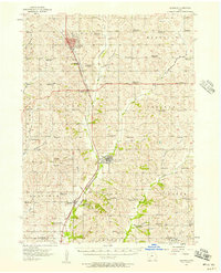
1957 · Audubon
USGS Topo · 1:62,500

1958 · Omaha
USGS Topo · 1:250,000
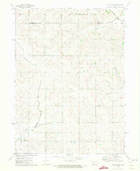
1971 · Viola Center
USGS Topo · 1:24,000
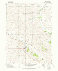
1971 · Dedham
USGS Topo · 1:24,000
1971 · Templeton
USGS Topo · 1:24,000
1971 · Gray
USGS Topo · 1:24,000
1978 · Kimballton
USGS Topo · 1:24,000
1978 · Manning
USGS Topo · 1:24,000