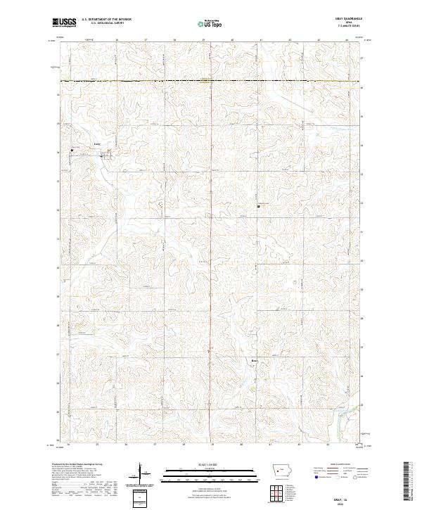
2022 Map of Gray
USGS Topo · Published 2022About this map
Gray and the small settlement of Ross anchor this rural landscape along the border of Carroll and Audubon counties. The terrain is defined by the drainage of the E Nishnabotna River, which cuts through the northeastern corner, and Bluegrass Cr, which flows near the southern reaches of the map. This area represents a deeply established agricultural region of western Iowa, where the township grid is meticulously carved out by a network of gravel and paved roads named after birds and plants, such as Goldfinch Ave, Kingbird Ave, and Hawthorne Ave. Genealogists will find interest in the documented locations of Gray Cem and Cameron Cem, which serve as quiet markers of the generations that have farmed these hills. The presence of Nabotna Pond near the river suggests local water management or recreational points in an otherwise purely agrarian expanse.
Find a feature on this map
40 named features on this map. Tap any name to fly to it.
Don’t see what you’re looking for? This feature index may not catch every label — zoom into the map to look around manually.
Map Details
Editions of this 2022 Gray Map
This is the sole edition of this map. No revisions or reprints were ever made.
Other maps of this area

1954 · Omaha
USGS Topo · 1:250,000

1957 · Omaha
USGS Topo · 1:250,000

1957 · Audubon
USGS Topo · 1:62,500

1958 · Omaha
USGS Topo · 1:250,000

1971 · Viola Center
USGS Topo · 1:24,000

1971 · Dedham
USGS Topo · 1:24,000

1971 · Templeton
USGS Topo · 1:24,000

1971 · Gray
USGS Topo · 1:24,000

1978 · Kimballton
USGS Topo · 1:24,000

1978 · Manning
USGS Topo · 1:24,000