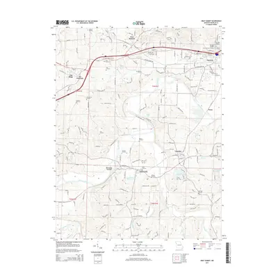
2015 Map of Gray Summit
USGS Topo · Published 2015About this map
The Meramec River carves a winding path through this portion of Franklin County, defining the valley landscape south of Pacific. The river’s loops create distinct geographic pockets, such as the area near Robertsville and the residential clusters at Meramec Terrace. This topography is marked by a high density of small family and community burial grounds, including Old Saint Bridgets Cemetery, Shiloh Cemetery, and Tiler Cemetery, which serve as vital touchpoints for local genealogical research. North of the river, the corridor between Gray Summit and Villa Ridge reflects more modern transportation patterns near The Diamonds. Water features like Shaw Garden Lake and Lake Serene punctuate the uplands, while the drainage of Calvey Cr and Brush Cr further divides the terrain into the timbered ridges and valleys characteristic of the region.
Find a feature on this map
166 named features on this map. Tap any name to fly to it.
Don’t see what you’re looking for? This feature index may not catch every label — zoom into the map to look around manually.
Map Details
Editions of this 2015 Gray Summit Map
This is the sole edition of this map. No revisions or reprints were ever made.
Other maps of this area
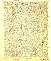
1901 · De Soto
USGS Topo · 1:125,000
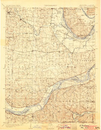
1903 · O'Fallon
USGS Topo · 1:125,000
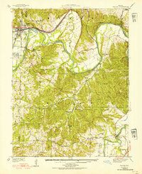
1937 · Pacific
USGS Topo · 1:24,000
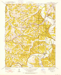
1938 · Cedar Hill
USGS Topo · 1:24,000
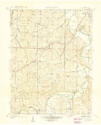
1940 · Cedar Hill
USGS Topo · 1:24,000
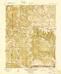
1940 · Eureka
USGS Topo · 1:24,000
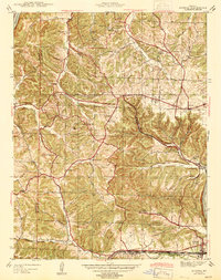
1944 · Eureka
USGS Topo · 1:24,000
1947 · St. Clair
USGS Topo · 1:62,500
1948 · Augusta
USGS Topo · 1:62,500
1949 · Saint Louis
USGS Topo · 1:250,000