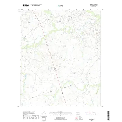
2019 Map of Grayback
USGS Topo · Published 2019About this map
Grayback serves as the primary settlement hub in this part of Wilbarger County, situated among a network of ranch roads and intermittent drainages. The landscape is defined by its water management, evidenced by numerous named stock tanks such as North Parker Tank, South Parker Tank, and the descriptively named Diving Board Tank. These features, alongside larger creeks like Beaver Cr and Lillus Cr, illustrate the vital importance of water security for the local cattle industry in the Texas rolling plains.
Find a feature on this map
28 named features on this map. Tap any name to fly to it.
Don’t see what you’re looking for? This feature index may not catch every label — zoom into the map to look around manually.
Map Details
Editions of this 2019 Grayback Map
This is the sole edition of this map. No revisions or reprints were ever made.
Other maps of this area

1954 · Wichita Falls
USGS Topo · 1:250,000

1955 · Lawton
USGS Topo · 1:250,000

1958 · Wichita Falls
USGS Topo · 1:250,000
1958 · Davidson
USGS Topo · 1:62,500
1958 · Vernon
USGS Topo · 1:62,500
1966 · Franklin Bend
USGS Topo · 1:24,000
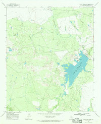
1966 · Santa Rosa Lake
USGS Topo · 1:24,000
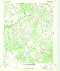
1966 · Grayback
USGS Topo · 1:24,000
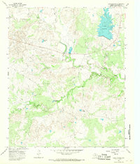
1966 · Lake Electra
USGS Topo · 1:24,000
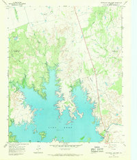
1966 · Northeast Lake Kemp
USGS Topo · 1:24,000