2023 Map of Grayland
USGS Topo · Published 2023About this map
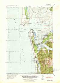
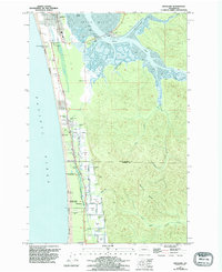
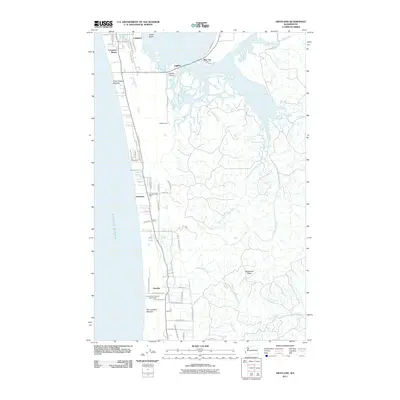
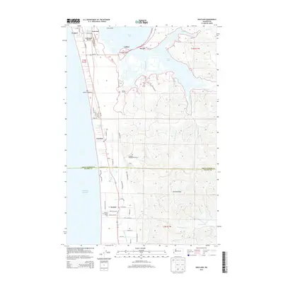
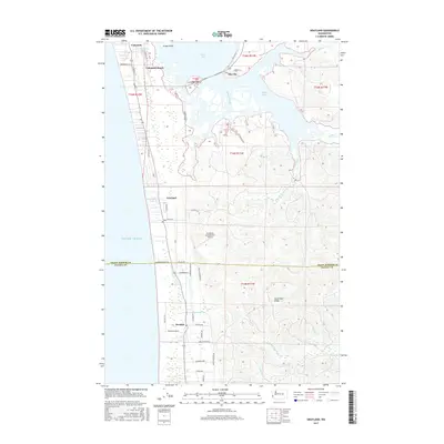
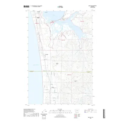
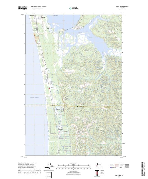
Grayland and the surrounding coastline of Grays Harbor define this survey of the Washington coast. The landscape is a complex network of coastal wetlands and tidal inlets, including Beardslee Slough, Mallard Slough, and the branching Elk River. The area between the Pacific Ocean and the inner harbor shows a distinctive settlement pattern along the narrow coastal strip, reaching from Westport in the north through Cohassett to Heather in the south. Notable interior features include the Grayland-Intergalactic Airport and numerous water bodies like Horseshoe Lake and Long Lake. The terrain transitions from the low-lying coastal plains to the elevated Seastrand Ridge in the southeast, where the headwaters of the Cedar River and Andrews Creek originate, highlighting the region's dense hydrography and intricate shoreline.
Find a feature on this map
53 named features on this map. Tap any name to fly to it.
Don’t see what you’re looking for? This feature index may not catch every label — zoom into the map to look around manually.
Map Details
Editions of this 2023 Grayland Map
This is the sole edition of this map. No revisions or reprints were ever made.
Historical Maps of Westport Through Time
7 maps found