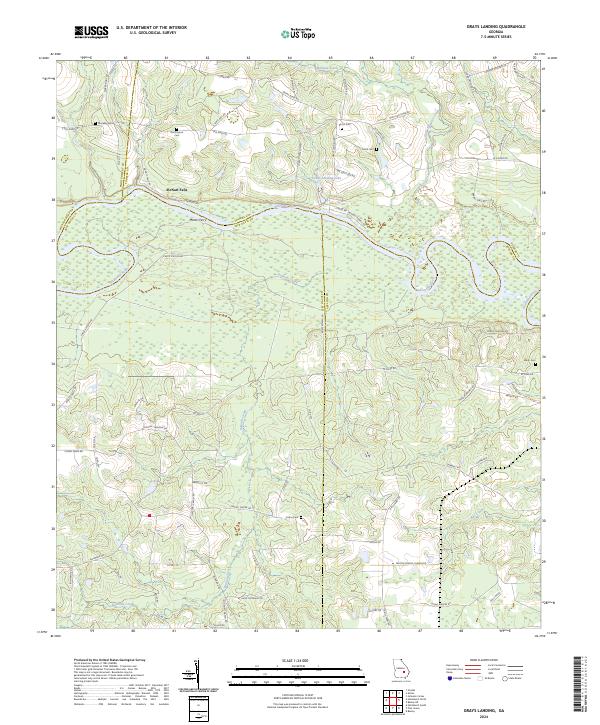
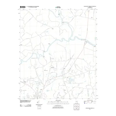
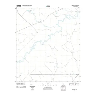
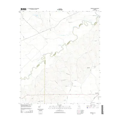
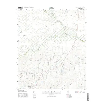
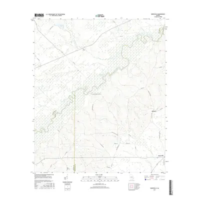
2024 Map of Grays Landing
USGS Topo · Published 2024About this map
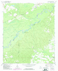
The Altamaha River winds through this coastal plain landscape, serving as a historic boundary for Jeff Davis, Toombs, and Montgomery counties. The river corridor is defined by its wide, swampy bottomlands and several key river-access points, most notably Manns Ferry and the quiet waters of Grays Landing Lake. Away from the main river channel, the terrain is marked by small tributaries like Bullards Creek and Milligan Creek, which drain the timbered uplands.
Find a feature on this map
80 named features on this map. Tap any name to fly to it.
Don’t see what you’re looking for? This feature index may not catch every label — zoom into the map to look around manually.
Map Details
Editions of this 2024 Grays Landing Map
This is the sole edition of this map. No revisions or reprints were ever made.
Historical Maps of Grays Landing Through Time
36 maps found
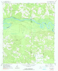
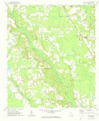
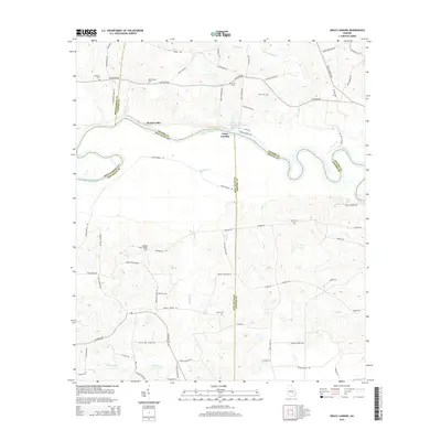
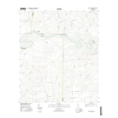
1970 Grays Landing
Jeff Davis County, GA
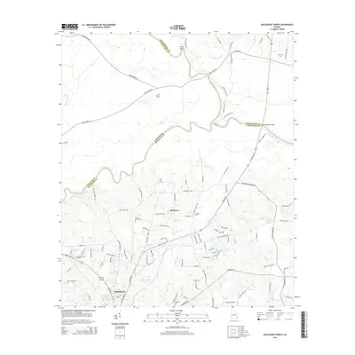
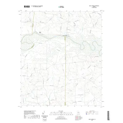
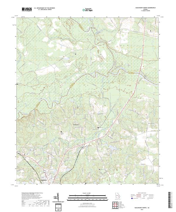
1971 Hazlehurst North
Jeff Davis County, GA
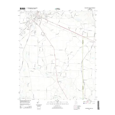
1971 Hazlehurst South
Jeff Davis County, GA
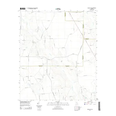
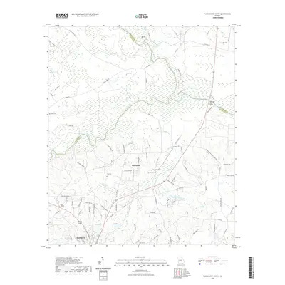
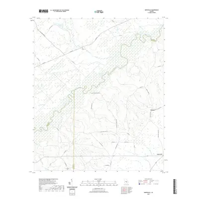
1971 Nicholls NE
Jeff Davis County, GA
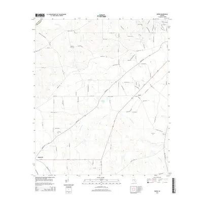
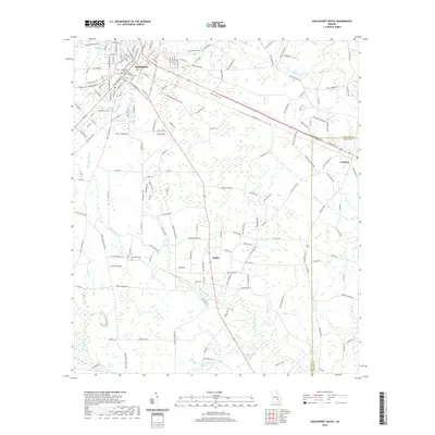
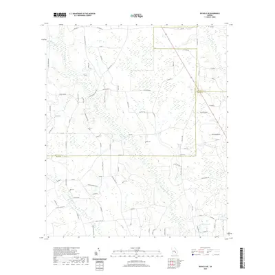
1971 Roper
Jeff Davis County, GA
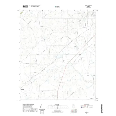
1971 Snipesville
Jeff Davis County, GA
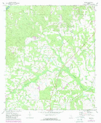
2011 Grays Landing
Jeff Davis County, GA
2011 Hazlehurst North
Jeff Davis County, GA
2011 Hazlehurst South
Jeff Davis County, GA
2011 Nicholls NE
Jeff Davis County, GA
2011 Roper
Jeff Davis County, GA
2011 Snipesville
Jeff Davis County, GA
2014 Grays Landing
Jeff Davis County, GA
2014 Hazlehurst North
Jeff Davis County, GA
2014 Hazlehurst South
Jeff Davis County, GA
2014 Nicholls NE
Jeff Davis County, GA
2014 Roper
Jeff Davis County, GA
2014 Snipesville
Jeff Davis County, GA
2017 Grays Landing
Jeff Davis County, GA
2017 Hazlehurst North
Jeff Davis County, GA
2017 Hazlehurst South
Jeff Davis County, GA
2017 Nicholls NE
Jeff Davis County, GA
2017 Roper
Jeff Davis County, GA
2017 Snipesville
Jeff Davis County, GA
2020 Grays Landing
Jeff Davis County, GA
2020 Hazlehurst North
Jeff Davis County, GA
2020 Hazlehurst South
Jeff Davis County, GA
2020 Nicholls NE
Jeff Davis County, GA
2020 Roper
Jeff Davis County, GA
2020 Snipesville
Jeff Davis County, GA
2024 Grays Landing
Jeff Davis County, GA
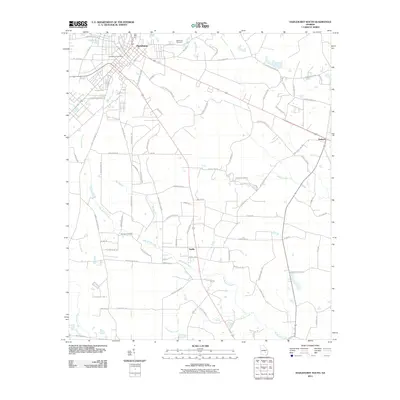
2024 Hazlehurst North
Jeff Davis County, GA
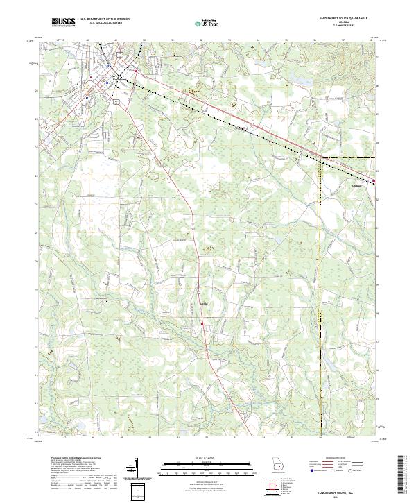
2024 Hazlehurst South
Jeff Davis County, GA
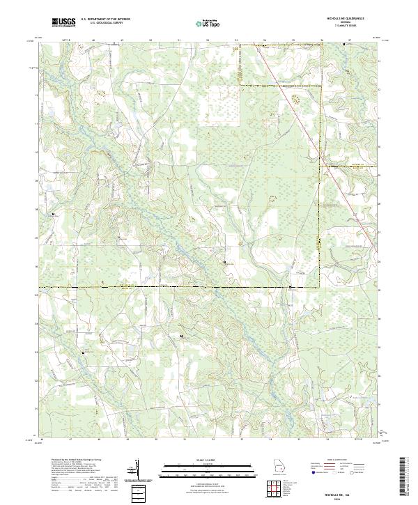
2024 Nicholls NE
Jeff Davis County, GA
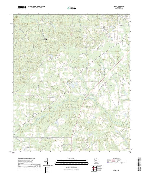
2024 Roper
Jeff Davis County, GA
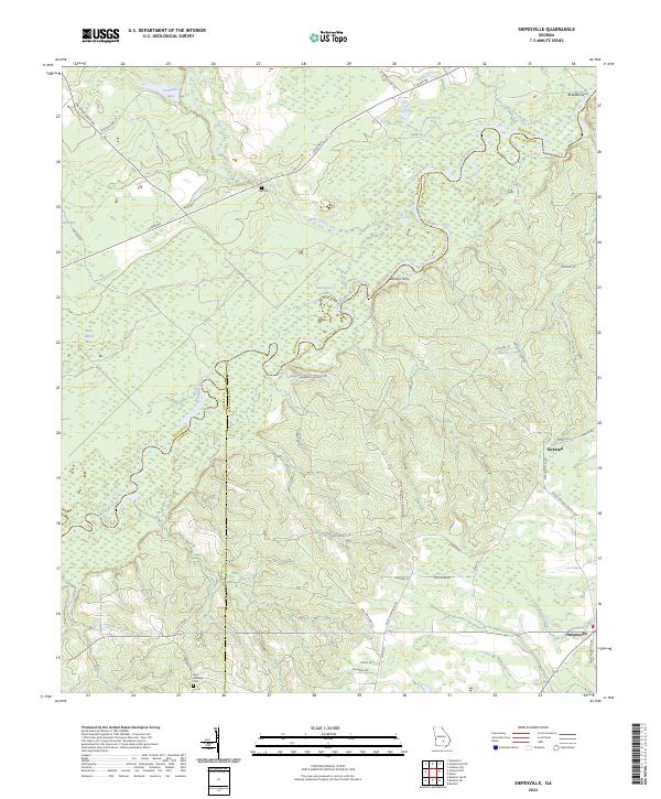
2024 Snipesville
Jeff Davis County, GA