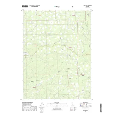
2018 Map of Grays Peak
USGS Topo · Published 2018About this map
Lassen National Forest terrain dominates this northern California landscape, where the volcanic geography of the Cascade Range is evident in the prominent rise of Grays Peak and the high elevations of Blue Ridge. The area is defined by a network of drainage systems including Digger Cr, Onion Cr, and the headwaters of Panther Cr. These watercourses have carved out significant features like Snoqualmie Gulch and Blue Lake Canyon. Transportation through this timber-rich environment is facilitated by the Mineral-Viola Hwy and a complex of logging roads such as Forwards Mill Rd and Blue Ridge Rd. The presence of numerous named water sources like Rock Spring, Blue Ridge Spring, and Rattlesnake Spring highlights the area's hydrology, while names like Sugarpine Flat and Hazen Flat indicate more level clearings amidst the steep ridges and gulches.
Find a feature on this map
51 named features on this map. Tap any name to fly to it.
Don’t see what you’re looking for? This feature index may not catch every label — zoom into the map to look around manually.
Map Details
Editions of this 2018 Grays Peak Map
This is the sole edition of this map. No revisions or reprints were ever made.
Other maps of this area
1886 · Lassen Peak
USGS Topo · 1:250,000
1892 · Lassen Peak
USGS Topo · 1:250,000
1894 · Lassen Peak
USGS Topo · 1:250,000
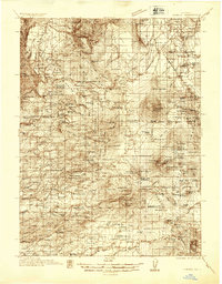
1935 · Burney
USGS Topo · 1:96,000
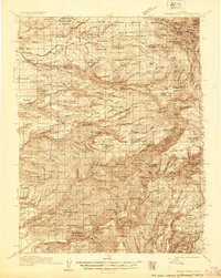
1935 · Paynes Creek
USGS Topo · 1:96,000
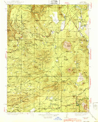
1939 · Burney
USGS Topo · 1:125,000
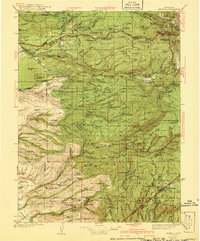
1941 · Mineral
USGS Topo · 1:125,000
1955 · Westwood
USGS Topo · 1:250,000
1956 · Lassen Peak
USGS Topo · 1:62,500
1956 · Manton
USGS Topo · 1:62,500