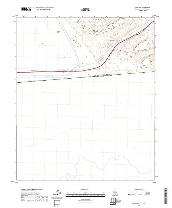
2021 Map of Grays Well
USGS Topo · Published 2021About this map
The United States of America Estados Unidos Mexicanos international boundary defines the southern reach of this desert landscape, where the extreme arid environment of the Imperial Valley meets the shifting sands of the Algodones Dunes. Water infrastructure is the primary shaper of the region, represented by the massive All-American Canal and the Coachella Canal cutting across the desert floor to irrigate the surrounding basins. Transportation is limited to a few arterial routes like the Evan Hewes Hwy and Grays Wells Rd, which skirt the edges of the East Mesa. The map provides a stark look at the engineering required to move water through the Colorado Desert, highlighting the intersection of international borders and essential utility corridors in the early 21st century.
Find a feature on this map
14 named features on this map. Tap any name to fly to it.
Don’t see what you’re looking for? This feature index may not catch every label — zoom into the map to look around manually.
Map Details
Editions of this 2021 Grays Well Map
This is the sole edition of this map. No revisions or reprints were ever made.
Other maps of this area

1903 · Yuma
USGS Topo · 1:125,000

1905 · Yuma
USGS Topo · 1:125,000

1907 · Holtville
USGS Topo · 1:125,000

1942 · El Centro
USGS Topo · 1:250,000

1942 · Yuma
USGS Topo · 1:250,000

1953 · Grays Well
USGS Topo · 1:24,000

1953 · Ogilby
USGS Topo · 1:62,500

1953 · Cactus
USGS Topo · 1:24,000
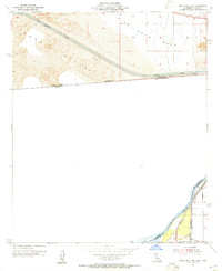
1953 · Grays Well NE
USGS Topo · 1:24,000

1954 · El Centro
USGS Topo · 1:250,000